


8,1 km | 9,9 km-effort


Utilisateur


Application GPS de randonnée GRATUITE
 SityTrail
IGN / Instituts géographiques
SityTrail World
Le monde est à vous
Randonnée Marche de 12,9 km à découvrir à Occitanie, Gard, Logrian-Florian. Cette randonnée est proposée par dansmabulle.
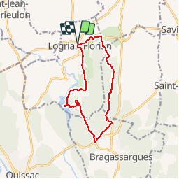
LOGRIAN - LE CASTELLET
12.8Km - 04h00
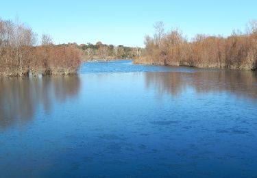
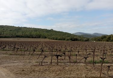
Départ randonnée : Parking randonneurs au bas du village de Logrian (Gard 30) carte ign 2841 Ouestbalisage partiel jaune et GR.balade facile sur le plateau de Puechredon, visite d'un castellas et du lac de la rouvière. Du parking randonneurs au bas du village remonter en direction du village et enfiler la rue du porche à gauche, poursuivre sur le bon chemin et arriver à la D8 que l'on suit à gauche sur 300m.Prendre à droite un chemin vers le sud qui rejoint un talvew.rejoindre les ruines d'un "castel" et chercher la porte du chateau pour trouver la sente qui descent au bas des falaises d'escalade et rejoint la route D118.Rester sur un chemin entre foret et vignes , passer "nogarède" et monter à droite.Suivre la trace GPS et rejoindre le lac de la rouvière .Possibilité de faire un aller retour pour visiter le hameau de Florian.(pont sur le Crieulon). regagner le village de Logrian. Attention : La trace GPS ne suie pas toujours le balisage. Bonne randonnée

Marche

Marche
Marche
Marche
Marche
Marche

Marche