


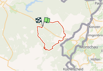

21 km | 26 km-effort

Utilisateur


Application GPS de randonnée GRATUITE
 SityTrail
IGN / Instituts géographiques
SityTrail World
Le monde est à vous
Randonnée Marche de 21 km à découvrir à Wallonie, Liège, Eupen. Cette randonnée est proposée par jeangulu.
Ternell _ N67 _ Vers là frontière _ magnifique parcours boiser mais fort accidenté par des grosses racines et parcours en grande partie sur plancher en bois superbe randonnée pédestre
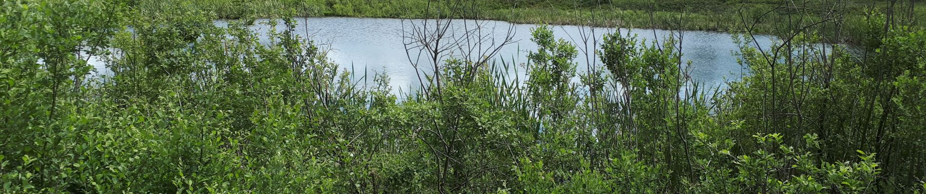
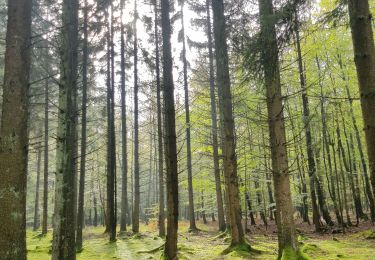
 _ Marche privée - Photo 1")
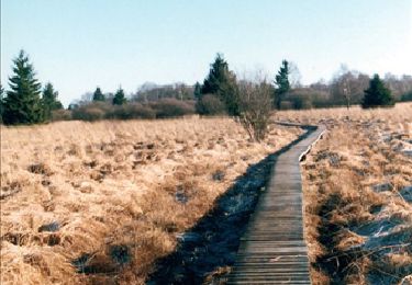
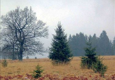
 _ Marche privée - Photo 2")
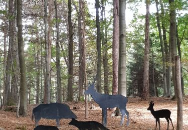
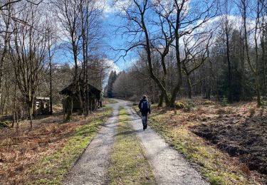
 _ Marche privée - Photo 3")
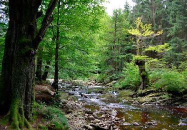
 _ Marche privée - Photo 4")
 _ Marche privée - Photo 5")
 _ Marche privée - Photo 6")
 _ Marche privée - Photo 7")
Marche
Marche
Marche
Marche
Marche

Marche

Marche
Marche

Marche