


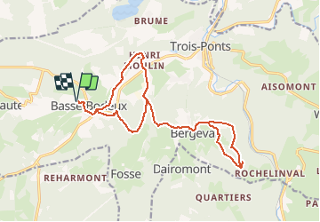

23 km | 33 km-effort

L'équitation par tous, pour tous


Application GPS de randonnée GRATUITE
 SityTrail
IGN / Instituts géographiques
SityTrail World
Le monde est à vous
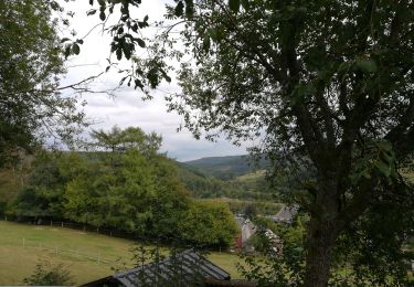
Randonnée Randonnée équestre de 17,1 km à découvrir à Wallonie, Liège, Trois-Ponts. Cette randonnée est proposée par Écuries du Moulin.
Balade de nuit avec arrêt pour manger au chalet de chasse

Marche

Marche
Marche

Marche

Marche
Marche
Marche
Marche
Marche