


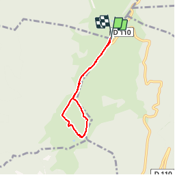

18,2 km | 35 km-effort


Utilisateur


Application GPS de randonnée GRATUITE
 SityTrail
IGN / Instituts géographiques
SityTrail World
Le monde est à vous
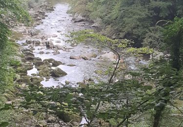
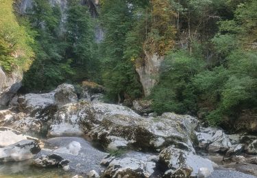
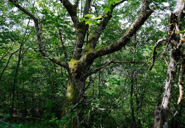
Randonnée Marche de 5 km à découvrir à Auvergne-Rhône-Alpes, Haute-Savoie, Leschaux. Cette randonnée est proposée par Bogapuki.
22 janvier 2014
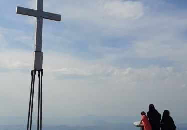
Rando/raquette facile par un temps superbe, offrant un panorama fabuleux sur les Alpes et le Mont Blanc (of course).
Marche
Marche
Marche
Marche
Marche

Marche
Marche
Marche
A pied
Bonne petite balade familiale