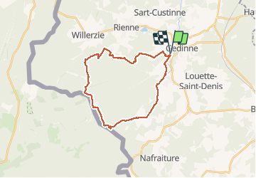

22 km | 28 km-effort

Utilisateur GUIDE


Application GPS de randonnée GRATUITE
 SityTrail
IGN / Instituts géographiques
SityTrail World
Le monde est à vous
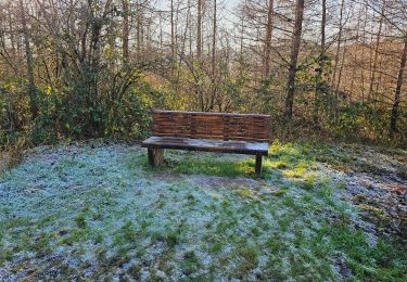
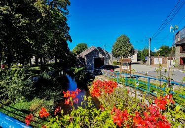
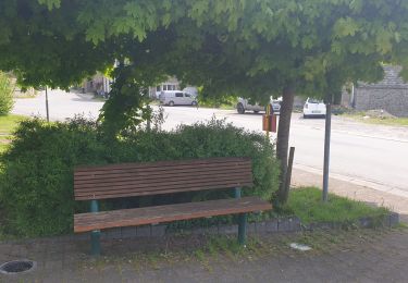
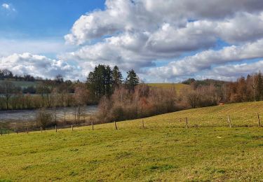
Randonnée Marche de 24 km à découvrir à Wallonie, Namur, Gedinne. Cette randonnée est proposée par rvapeldo.
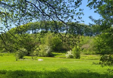
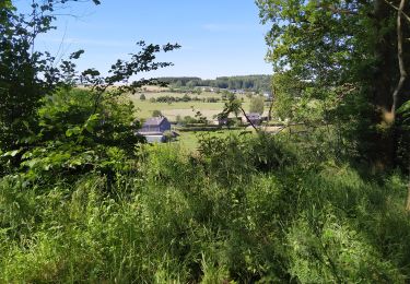
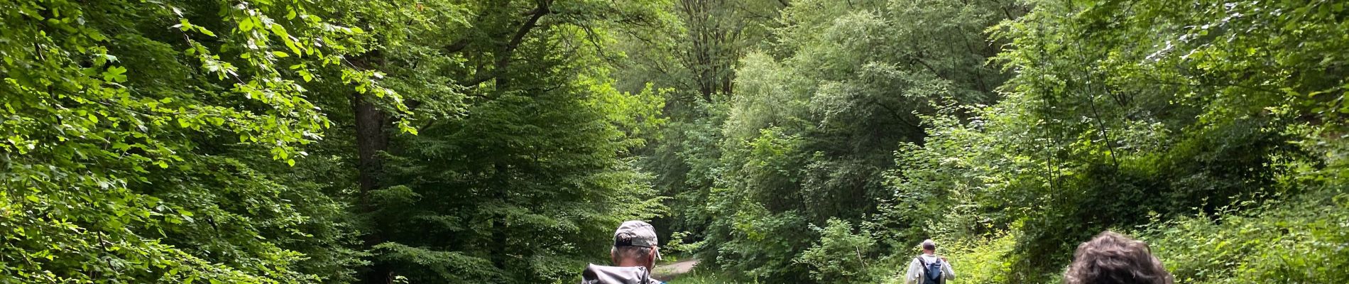
Tour classique dans le massif de la Croix Scaille, au départ du parking du camping du même nom, situé en fait à côté de Gedinne. Possibilité de grimper dans la tour du Millénaire. Repas ou verre possible au resto/taverne du camping.


Marche

Marche
Marche
Marche
Marche
Marche

A pied