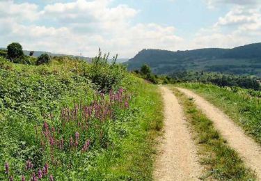
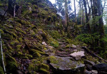
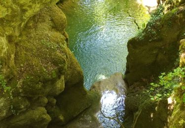
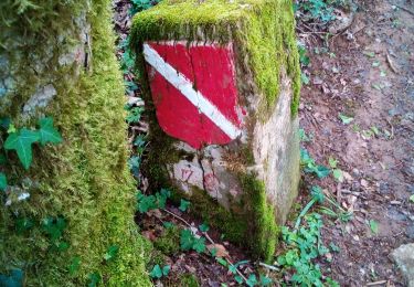
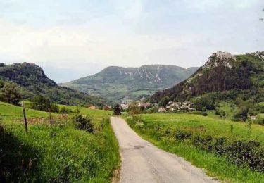
Randonnée Marche Saizenay - Saizenay_Mt Poupet 14 km D+ 560m  - Photo

Saizenay_Mt Poupet 14 km D+ 560m

 cmike39
cmike39

Utilisateur

© OpenStreetMap contributors
Longueur
Longueur
13,9 km
Altitude max
Altitude max
843 m
Dénivelé positif
Dénivelé positif
563 m
Km-Effort
Km-Effort  
21 km
Altitude min
Altitude min
417 m
Dénivelé négatif
Dénivelé négatif
559 m
Boucle
Boucle
Oui
Date de création :
2014-12-10 00:00:00.0
Dernière modification :
2022-12-07 10:31:07.216

(1 Avis)

Marche
Marche
4h27
Difficulté : Moyen

Scannez ce code QR pour ouvrir la randonnée dans l'application SityTrail

Application GPS de randonnée GRATUITE

Logo SityTrail SityTrail

IGN / Instituts géographiques

Télécharger SityTrail sur l'App Store Télécharger SityTrail sur Google Play

Logo SityTrail SityTrail World

Le monde est à vous

Télécharger SityTrail sur l'App Store Télécharger SityTrail sur Google Play Télécharger SityTrail sur Huawei AppGallery

À propos

Randonnée Marche de 13,9 km à découvrir à Bourgogne-Franche-Comté, Jura, Saizenay. Cette randonnée est proposée par cmike39.

Profil altimétrique

Photos

Points d'intérêt

Point d'intérêt Saint-Thiébaud - Croix du Poupet - Photo
cmike39
SAINT-THIÉBAUD 

Localisation

Pays :
France
Région :
Bourgogne-Franche-Comté
Département/Province :
Jura
Commune :
Saizenay
Localité :
Unknown
Départ:(Dec)
Départ:(UTM)
721467 ; 5204821 (31T) N.

Commentaires

Veuillez vous connecter pour laisser un commentaire ou une note


Randonnées à proximité

Randonnée Marche Salins-les-Bains - Le Mont Poupet (850 m) - Photo
Marche
tracegps

Marche

Difficile
(3)
Salins-les-Bains, Bourgogne-Franche-Comté, Jura, France
16,8 km | 25 km-effort
5h 0min
Oui
Randonnée Marche Ivrey - Nans sous ste Anne  - Photo
Marche
legios84

Marche

Difficile
Ivrey, Bourgogne-Franche-Comté, Jura, France
27 km | 39 km-effort
5h 1min
Oui
Randonnée Marche Ivrey - Ivrey - Mr Poupet 7 juillet 20250 CAF - Photo
Marche
TRIMAILLE

Marche

Difficile
Ivrey, Bourgogne-Franche-Comté, Jura, France
17,8 km | 29 km-effort
5h 55min
Oui
Randonnée A pied Salins-les-Bains - SALIN LES BAINS - GOUR DE CONCHE - Photo
A pied
mpstoop

A pied

Moyen
Salins-les-Bains, Bourgogne-Franche-Comté, Jura, France
25 km | 37 km-effort
6h 40min
Oui
Randonnée Marche Ivrey - Mont POUPET SALINS LES BAINS - Photo
Marche
legios84

Marche

Difficile
Ivrey, Bourgogne-Franche-Comté, Jura, France
22 km | 34 km-effort
4h 22min
Oui
Randonnée Marche Salins-les-Bains - Tille de Bracon - Grange Sauvaget - Photo
Marche
tracegps

Marche

Facile
(1)
Salins-les-Bains, Bourgogne-Franche-Comté, Jura, France
6,8 km | 10,2 km-effort
1h 30min
Oui
Randonnée Marche La Chapelle-sur-Furieuse - Chapelle sur Furieuse 20241024 - Photo
Marche
cmike39

Marche

Très difficile
La Chapelle-sur-Furieuse, Bourgogne-Franche-Comté, Jura, France
19,6 km | 28 km-effort
6h 24min
Oui
Randonnée Marche La Chapelle-sur-Furieuse - la chapelle sur furieuse - Photo
Marche
Daniel1.guyot@orange.fr

Marche

Très difficile
La Chapelle-sur-Furieuse, Bourgogne-Franche-Comté, Jura, France
17,2 km | 24 km-effort
5h 37min
Oui
Randonnée Marche Salins-les-Bains - Salins les bains Poupet 15.5 km - Photo
Marche
cmike39

Marche

Très difficile
Salins-les-Bains, Bourgogne-Franche-Comté, Jura, France
16 km | 24 km-effort
4h 30min
Oui


Fermer
Mes abonnements