


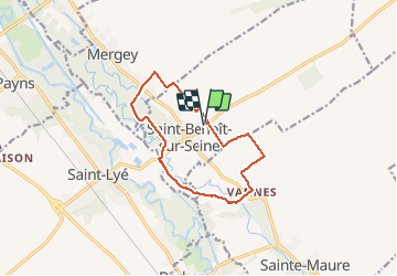

12,9 km | 13,9 km-effort


Utilisateur


Application GPS de randonnée GRATUITE
 SityTrail
IGN / Instituts géographiques
SityTrail World
Le monde est à vous
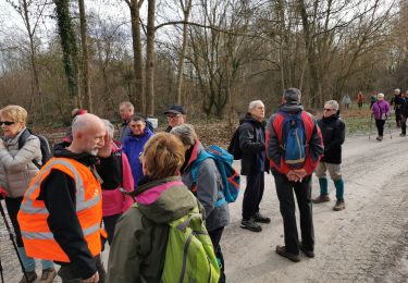
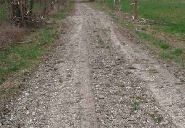
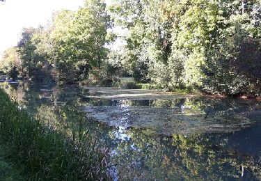
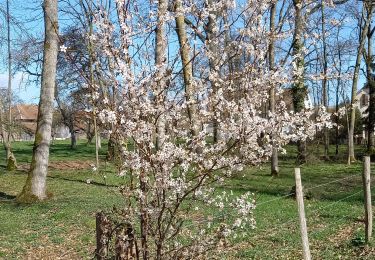
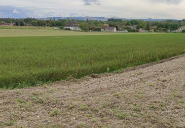
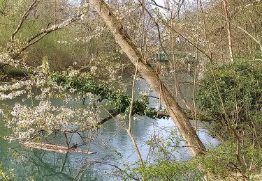
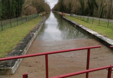
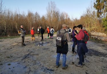
Randonnée Marche nordique de 11 km à découvrir à Grand Est, Aube, Saint-Benoît-sur-Seine. Cette randonnée est proposée par Alain Guiter.
Marche
Marche
Marche
Marche
Marche
Marche