


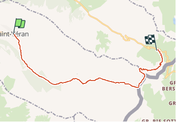

13,1 km | 23 km-effort


Utilisateur GUIDE


Application GPS de randonnée GRATUITE
 SityTrail
IGN / Instituts géographiques
SityTrail World
Le monde est à vous
Randonnée Marche de 13,1 km à découvrir à Provence-Alpes-Côte d'Azur, Hautes-Alpes, Saint-Véran. Cette randonnée est proposée par Kargil.
Via le Col de Saint Véran
Possibilité de passer par le Lac de La Blanche et le refuge du même nom en prenant le sentier vers Chapelle de Clausis.
C'est aussi l'itinéraire en direction de Col Blanchet et Pic Rocca Bianca

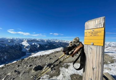
Marche

Marche

Marche

Raquettes à neige
Raquettes à neige

Marche

Marche

Autre activité
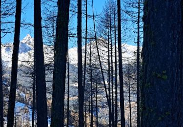
Marche