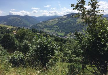
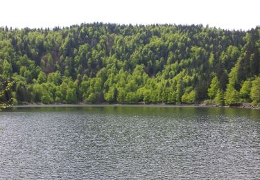
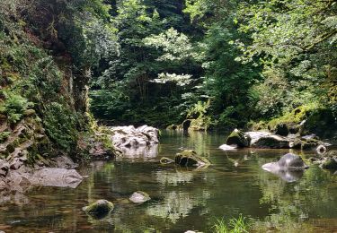
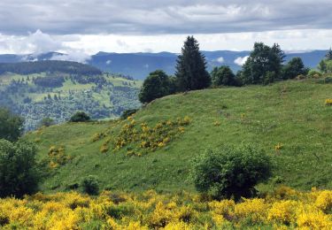
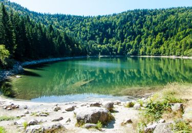
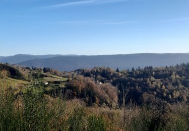
26 km | 36 km-effort
cornimont
schischi
Utilisateur
Longueur
24 km
Altitude max
1030 m
Dénivelé positif
656 m
Km-Effort
34 km
Altitude min
513 m
Dénivelé négatif
831 m
Boucle
Non
Date de création :
2020-05-31 11:48:55.698
Dernière modification :
2020-05-31 15:41:01.54
3h20
Difficulté : Moyen
Application GPS de randonnée GRATUITE
À propos
Randonnée V.T.T. de 24 km à découvrir à Grand Est, Vosges, Cornimont. Cette randonnée est proposée par schischi.
Localisation
Pays :
France
Région :
Grand Est
Département/Province :
Vosges
Commune :
Cornimont
Localité :
Unknown
Départ:(Dec)
Départ:(UTM)
337010 ; 5317123 (32T) N.
Commentaires
Randonnées à proximité
la bresse - le moutier des fées
Marche
Très facile
(1)
La Bresse,
Grand Est,
Vosges,
France
3h 26min
Non
Le Couchetat
Marche
Très facile
(2)
La Bresse,
Grand Est,
Vosges,
France
4,8 km | 7,4 km-effort
1h 50min
Oui
Le col du Brabant et le lac des Corbeaux
Marche
Moyen
(2)
La Bresse,
Grand Est,
Vosges,
France
10,3 km | 16,4 km-effort
3h 51min
Oui
Le Moutier des Fées_backup_backup
Marche
Facile
(1)
La Bresse,
Grand Est,
Vosges,
France
9,1 km | 15,4 km-effort
3h 11min
Oui
2022-06-05 Rando CVA Gerbamont Dommartin les Remiremont
Randonnée équestre
Difficile
Gerbamont,
Grand Est,
Vosges,
France
24 km | 34 km-effort
5h 10min
Non
2022-06-04 Rando CVA Gerbamont Boucle Foret de Noire Goutte
Randonnée équestre
Très difficile
Gerbamont,
Grand Est,
Vosges,
France
31 km | 43 km-effort
6h 2min
Oui
La Bresse : CIRCUIT VTT N°14 - LE LAC DES CORBEAUX
V.T.T.
Moyen
La Bresse,
Grand Est,
Vosges,
France
16,1 km | 22 km-effort
1h 30min
Oui
Grand tour de "le Faing Berret"
Marche
Moyen
(1)
La Bresse,
Grand Est,
Vosges,
France
7,1 km | 9,8 km-effort
2h 17min
Oui
Planois - Le haut du Roc
Marche nordique
Moyen
Basse-sur-le-Rupt,
Grand Est,
Vosges,
France
10,4 km | 17,2 km-effort
2h 28min
Oui