


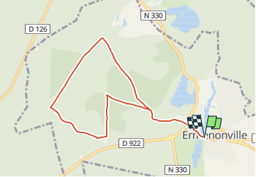


8,1 km | 9,5 km-effort

Randonner avec bonne humeur et convivialité. (Inscription réservée uniquement aux animateurs de GOËLE RANDO)


Application GPS de randonnée GRATUITE
 SityTrail
IGN / Instituts géographiques
SityTrail World
Le monde est à vous
Randonnée A pied de 8,4 km à découvrir à Hauts-de-France, Oise, Ermenonville. Cette randonnée est proposée par GOELE RANDO.
https://www.goelerando.fr/
DAMMARTIN en GOËLE 77
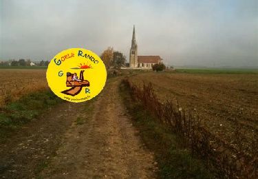
 8,5 Km - Photo 1")

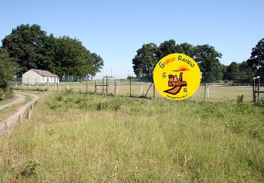
Marche
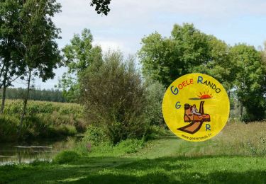
Marche
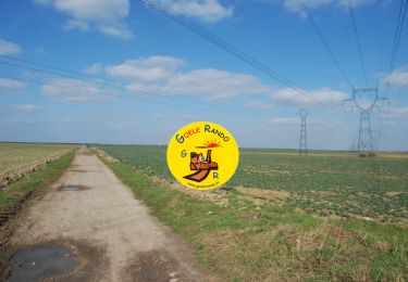
Marche

Marche

Marche
Marche
Marche
Marche
Marche