


11 km | 13 km-effort

Utilisateur


Application GPS de randonnée GRATUITE
 SityTrail
IGN / Instituts géographiques
SityTrail World
Le monde est à vous
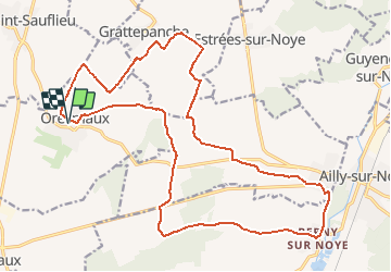
Randonnée Marche de 22 km à découvrir à Hauts-de-France, Somme, Oresmaux. Cette randonnée est proposée par fitz2014.
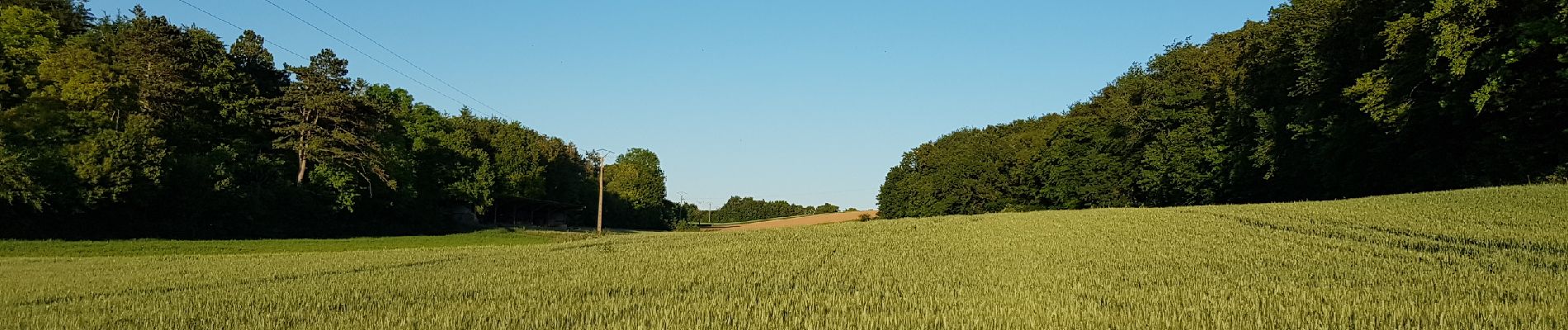
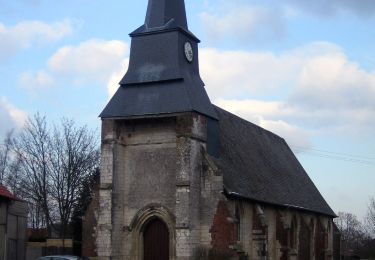
À partir d'Oresmaux, découverte du larris de Grattepanche en passant par le Fond de l'Absous. Le retour vers Oresmaux permet de découvrir la Vallée Coquillette


Marche
A pied
Marche

V.T.T.
V.T.T.
Marche
Marche
Marche


sport
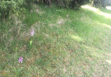
paysages variés