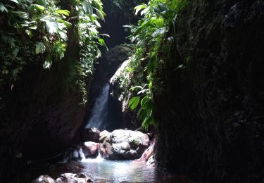
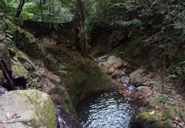
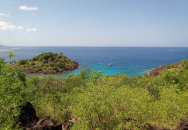
4,5 km | 6,9 km-effort
Birloton
Joël Nelson
Utilisateur
Longueur
2,9 km
Altitude max
300 m
Dénivelé positif
170 m
Km-Effort
4,8 km
Altitude min
154 m
Dénivelé négatif
73 m
Boucle
Non
Date de création :
2020-05-27 12:28:05.574
Dernière modification :
2020-05-27 16:48:48.958
4h19
Difficulté : Très facile
Application GPS de randonnée GRATUITE
À propos
Randonnée Marche de 2,9 km à découvrir à Guadeloupe, Inconnu, Bouillante. Cette randonnée est proposée par Joël Nelson .
Localisation
Pays :
France
Région :
Guadeloupe
Département/Province :
Inconnu
Commune :
Bouillante
Localité :
Unknown
Départ:(Dec)
Départ:(UTM)
632366 ; 1786607 (20Q) N.
Commentaires
Randonnées à proximité
Trou à Diable par la rivière Bourceau
Marche
Facile
Bouillante,
Guadeloupe,
Inconnu,
France
12 km | 18,4 km-effort
3h 22min
Non
Piton de Bouillante
Marche
Moyen
Petit-Bourg,
Guadeloupe,
Inconnu,
France
11,3 km | 23 km-effort
3h 19min
Non
Aquarando Rivière Losteau - Rivière Espérance
Marche
Facile
Bouillante,
Guadeloupe,
Inconnu,
France
4,3 km | 6,5 km-effort
2h 17min
Oui
la mamelle au pigeon
Marche
Facile
Pointe-Noire,
Guadeloupe,
Inconnu,
France
14 km | 19,1 km-effort
1h 24min
Non
Trou à Diable
Marche
Facile
(1)
Bouillante,
Guadeloupe,
Inconnu,
France
3,8 km | 5,9 km-effort
1h 22min
Oui
Pointe à Lézard - Anse à Sable
Marche
Très facile
Bouillante,
Guadeloupe,
Inconnu,
France
4,6 km | 6,9 km-effort
1h 30min
Oui
Réserve Cousteau - Ilets Pigeons
Canoë - kayak
Très facile
Bouillante,
Guadeloupe,
Inconnu,
France
4,2 km | 4,6 km-effort
4h 41min
Oui
petit malendure
Marche
Moyen
Bouillante,
Guadeloupe,
Inconnu,
France
3,8 km | 6,8 km-effort
2h 36min
Non