


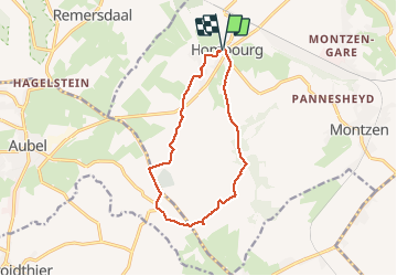


9,5 km | 12 km-effort

Utilisateur GUIDE


Application GPS de randonnée GRATUITE
 SityTrail
IGN / Instituts géographiques
SityTrail World
Le monde est à vous
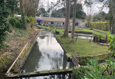
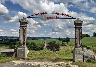
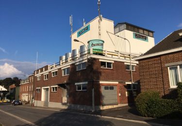
Randonnée Marche de 11 km à découvrir à Wallonie, Liège, Plombières. Cette randonnée est proposée par pierreh01.
Très jolie balade aux vues magnifiques, mais au relief bien accidenté. Parcours à corriger, par moments absences de sentier et fléchages.


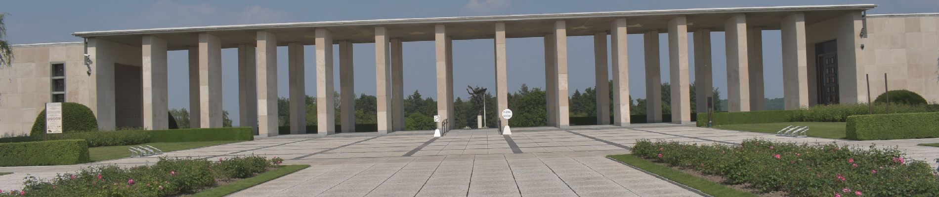
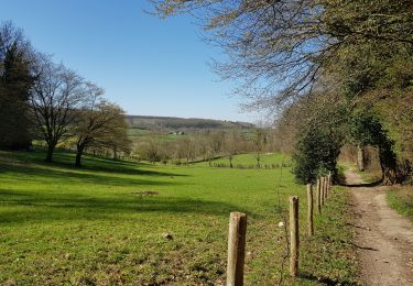
44 photos au total. Cliquez sur une photo pour les afficher toutes dans la galerie.

Marche

Marche

Marche
Marche

Marche
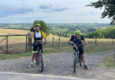
V.T.T.
Marche
V.T.T.
Marche