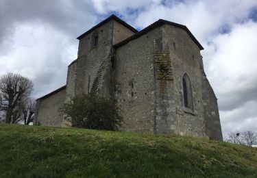
9,8 km | 12,5 km-effort
Passirac
JACQUOU
Utilisateur
Longueur
22 km
Altitude max
180 m
Dénivelé positif
356 m
Km-Effort
27 km
Altitude min
99 m
Dénivelé négatif
358 m
Boucle
Oui
Date de création :
2020-05-26 07:29:59.022
Dernière modification :
2020-05-26 14:57:25.005
5h35
Difficulté : Facile
Application GPS de randonnée GRATUITE
À propos
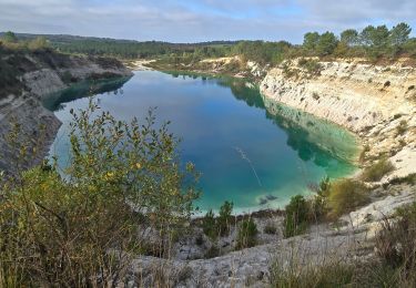
Randonnée Marche de 22 km à découvrir à Nouvelle-Aquitaine, Charente, Passirac. Cette randonnée est proposée par JACQUOU.
Localisation
Pays :
France
Région :
Nouvelle-Aquitaine
Département/Province :
Charente
Commune :
Passirac
Localité :
Unknown
Départ:(Dec)
Départ:(UTM)
730018 ; 5025615 (30T) N.
Commentaires
Randonnées à proximité
La randonnée des fours à pain de Chalignac
Marche
Très facile
(1)
Châtignac,
Nouvelle-Aquitaine,
Charente,
France
2h 40min
Oui
LACS BLEUS GUIZENGEARD depuis le Parking de la Mairie
Marche
Moyen
Guizengeard,
Nouvelle-Aquitaine,
Charente,
France
7,4 km | 9,6 km-effort
2h 10min
Oui
chatignac 18 juin 2019
Marche
Moyen
Châtignac,
Nouvelle-Aquitaine,
Charente,
France
7,6 km | 10,2 km-effort
2h 2min
Oui
guizengeard 03 avril 2018
Marche
Facile
Guizengeard,
Nouvelle-Aquitaine,
Charente,
France
7,5 km | 9,3 km-effort
2h 1min
Oui
chatignac ronde fours à pain
Marche
Très facile
Châtignac,
Nouvelle-Aquitaine,
Charente,
France
10,4 km | 12,7 km-effort
2h 53min
Oui
étang vallier brossac
Marche
Facile
Brossac,
Nouvelle-Aquitaine,
Charente,
France
8 km | 9,9 km-effort
2h 4min
Oui
Sainte Souline
Marche
Facile
Sainte-Souline,
Nouvelle-Aquitaine,
Charente,
France
10,1 km | 13 km-effort
2h 31min
Oui
Chatignac 05/05/2022
Marche
Moyen
Châtignac,
Nouvelle-Aquitaine,
Charente,
France
8 km | 10,3 km-effort
2h 35min
Oui
passirac
Marche
Facile
Passirac,
Nouvelle-Aquitaine,
Charente,
France
7,5 km | 9,3 km-effort
1h 54min
Oui