


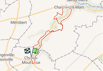

15,3 km | 17,9 km-effort


Utilisateur


Application GPS de randonnée GRATUITE
 SityTrail
IGN / Instituts géographiques
SityTrail World
Le monde est à vous
Randonnée Trail de 16,9 km à découvrir à Île-de-France, Essonne, Chalou-Moulineux. Cette randonnée est proposée par Bmikado.
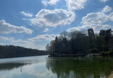
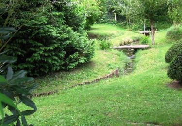
Belle randonnée le long de la Chalouette, petite rivière sinuant au sein d'une oasis de verdure.
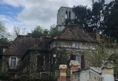
Dans les villages de Chalou-Moulineux et de Chalo Saint-Mars le passé médiéval du temps des templiers affleure à tous les coins de rue.
A pied
Marche
Marche

Marche
Marche
Marche
Marche
Marche
Marche