


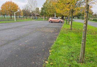
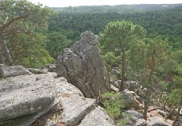
 - Photo 21")
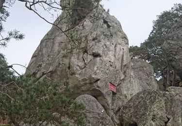
 - Photo 22")

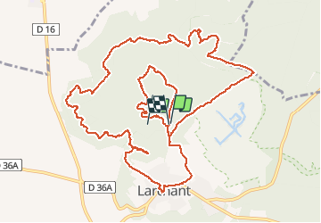
19,6 km | 24 km-effort

Utilisateur


Application GPS de randonnée GRATUITE
 SityTrail
IGN / Instituts géographiques
SityTrail World
Le monde est à vous
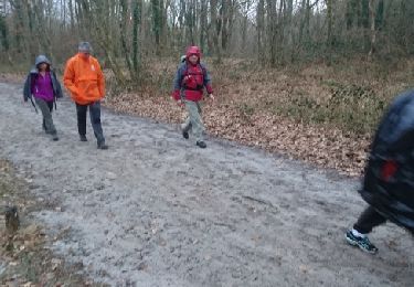
Randonnée Marche de 15 km à découvrir à Île-de-France, Seine-et-Marne, Larchant. Cette randonnée est proposée par Yannick89.
randonnée d'origine par gdela de 17 km
je la publie ici avec des photos
 - Photo 1")
 - Photo 2")
 - Photo 3")
 - Photo 4")
 - Photo 5")
 - Photo 6")
 - Photo 7")
 - Photo 8")
 - Photo 9")
 - Photo 10")
 - Photo 11")
 - Photo 12")
 - Photo 13")
 - Photo 14")
 - Photo 15")
 - Photo 16")
 - Photo 17")
 - Photo 18")
 - Photo 19")
 - Photo 20")
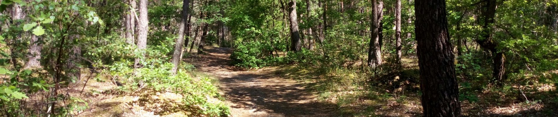
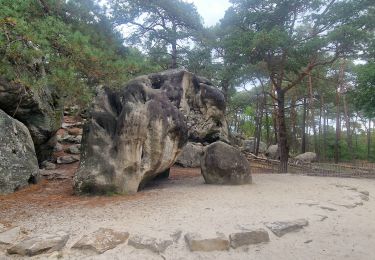
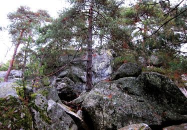
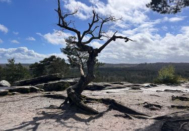
22 photos au total. Cliquez sur une photo pour les afficher toutes dans la galerie.
Marche
A pied
Marche
Marche
Marche nordique

Marche
Marche
Marche
Marche