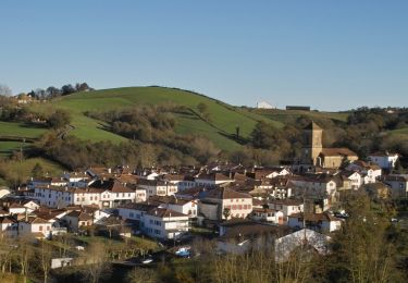
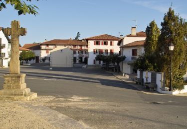
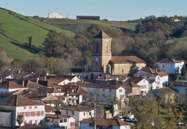
8,2 km | 11,3 km-effort
Les Hauts de Ayherre (variante)
FERREREMARC
Utilisateur
Longueur
10,6 km
Altitude max
182 m
Dénivelé positif
294 m
Km-Effort
14,5 km
Altitude min
25 m
Dénivelé négatif
295 m
Boucle
Oui
Date de création :
2020-05-17 09:59:07.086
Dernière modification :
2020-05-17 14:35:50.839
4h35
Difficulté : Très facile
Application GPS de randonnée GRATUITE
À propos
Randonnée Marche de 10,6 km à découvrir à Nouvelle-Aquitaine, Pyrénées-Atlantiques, Ayherre. Cette randonnée est proposée par FERREREMARC.
Localisation
Pays :
France
Région :
Nouvelle-Aquitaine
Département/Province :
Pyrénées-Atlantiques
Commune :
Ayherre
Localité :
Unknown
Départ:(Dec)
Départ:(UTM)
641450 ; 4805861 (30T) N.
Commentaires
Randonnées à proximité
Pierroun
Autre activité
Très facile
(1)
La Bastide-Clairence,
Nouvelle-Aquitaine,
Pyrénées-Atlantiques,
France
2h 0min
Oui
Rando des fêtes de Pessarou 2016
Marche
Facile
La Bastide-Clairence,
Nouvelle-Aquitaine,
Pyrénées-Atlantiques,
France
13,3 km | 17,9 km-effort
4h 4min
Oui
Bidegaraia - Massif de l'Ursuia
Marche
Difficile
Hasparren,
Nouvelle-Aquitaine,
Pyrénées-Atlantiques,
France
12,6 km | 19,8 km-effort
4h 30min
Oui
Ayherre bois
Marche
Très facile
Ayherre,
Nouvelle-Aquitaine,
Pyrénées-Atlantiques,
France
9,8 km | 13,6 km-effort
2h 16min
Oui
Rando des fêtes de Pessarou 2016
Marche
Facile
La Bastide-Clairence,
Nouvelle-Aquitaine,
Pyrénées-Atlantiques,
France
13,3 km | 17,9 km-effort
3h 14min
Oui
Balade du 1-09-13
Autre activité
Très facile
Ayherre,
Nouvelle-Aquitaine,
Pyrénées-Atlantiques,
France
9,1 km | 12,2 km-effort
2h 29min
Oui
La Bastide Clairence - Pessarou
Cheval
Difficile
La Bastide-Clairence,
Nouvelle-Aquitaine,
Pyrénées-Atlantiques,
France
10,5 km | 14,2 km-effort
Inconnu
Non
Hasparren - Hélette
Cheval
Difficile
Hasparren,
Nouvelle-Aquitaine,
Pyrénées-Atlantiques,
France
21 km | 31 km-effort
Inconnu
Non
La Bastide Clairence - Hasparren
Cheval
Difficile
La Bastide-Clairence,
Nouvelle-Aquitaine,
Pyrénées-Atlantiques,
France
17,2 km | 24 km-effort
3h 0min
Non