


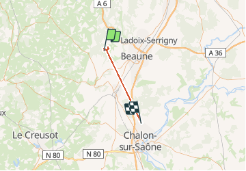

17,7 km | 24 km-effort


Utilisateur


Application GPS de randonnée GRATUITE
 SityTrail
IGN / Instituts géographiques
SityTrail World
Le monde est à vous
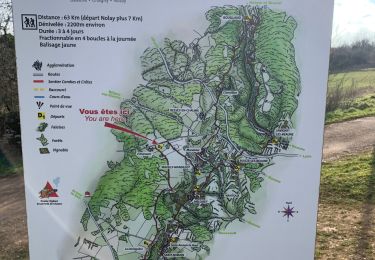
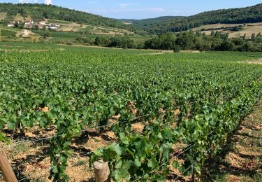
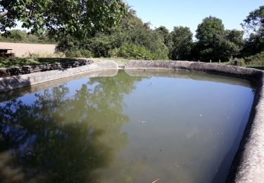
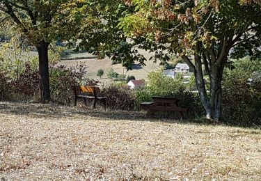
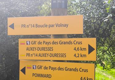
Randonnée Marche de 29 km à découvrir à Bourgogne-Franche-Comté, Côte-d'Or, Meloisey. Cette randonnée est proposée par jpdroux.

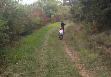
Marche
A pied
Marche
Marche
Marche
Marche
Marche
Marche
Marche