


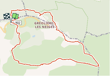

16,7 km | 33 km-effort

Utilisateur


Application GPS de randonnée GRATUITE
 SityTrail
IGN / Instituts géographiques
SityTrail World
Le monde est à vous
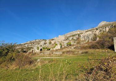
Randonnée Marche de 14 km à découvrir à Provence-Alpes-Côte d'Azur, Alpes-Maritimes, Gréolières. Cette randonnée est proposée par domi06.
Départ centre de ski de fond. Traverser la route et prendre le sentier à la balise 196, direction Gréolière Les Neiges, par une belle forêt. Rejoindre ensuite les crêtes, croix de Verse, Jerusalem, le Cheiron.


A pied
A pied

A pied

A pied
A pied

Marche

Marche
Marche
Marche