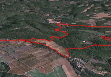
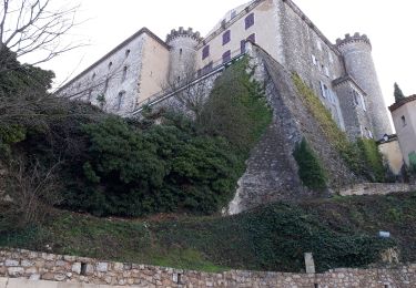
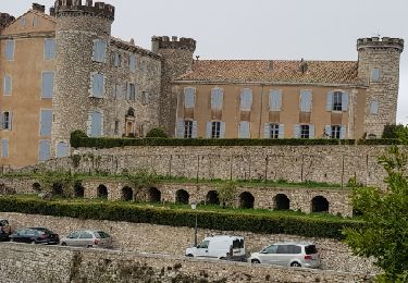
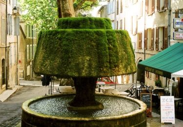
Randonnée Marche Barjols - la traverse - Photo
© OpenStreetMap contributors
Longueur
Longueur
1,7 km
Altitude max
Altitude max
439 m
Dénivelé positif
Dénivelé positif
6 m
Km-Effort
Km-Effort  
2 km
Altitude min
Altitude min
373 m
Dénivelé négatif
Dénivelé négatif
66 m
Boucle
Boucle
Non
Date de création :
2020-05-12 15:34:50.545
Dernière modification :
2020-05-12 16:25:29.401

(0 Avis)

Marche
Marche
45m
Difficulté : Très facile

Scannez ce code QR pour ouvrir la randonnée dans l'application SityTrail

Application GPS de randonnée GRATUITE

Logo SityTrail SityTrail

IGN / Instituts géographiques

Télécharger SityTrail sur l'App Store Télécharger SityTrail sur Google Play

Logo SityTrail SityTrail World

Le monde est à vous

Télécharger SityTrail sur l'App Store Télécharger SityTrail sur Google Play Télécharger SityTrail sur Huawei AppGallery

À propos

Randonnée Marche de 1,7 km à découvrir à Provence-Alpes-Côte d'Azur, Var, Barjols. Cette randonnée est proposée par vieuxcochonsseillonnais.

Description

cc
g

gcr
derrir
 n'y

Profil altimétrique

Localisation

Pays :
France
Région :
Provence-Alpes-Côte d'Azur
Département/Province :
Var
Commune :
Barjols
Localité :
Unknown
Départ:(UTM)
737583 ; 4828468 (31T) N.

Randonnées à proximité

Randonnée Marche Brue-Auriac - Pigeonnier- Pont de Sumian - Chute du Tombereau - Bords de L'argens - Prieure Notre Dame -Le Village - Photo
Marche
GUIDE
affinetataille

Marche

Facile
Brue-Auriac, Provence-Alpes-Côte d'Azur, Var, France
16,4 km | 21 km-effort
6h 0min
Oui
Randonnée Marche Saint-Martin-de-Pallières - La montagne d'Artigues 16-12-2020 - Photo
Marche
Christiancordin

Marche

Moyen
Saint-Martin-de-Pallières, Provence-Alpes-Côte d'Azur, Var, France
20 km | 28 km-effort
6h 2min
Oui
Randonnée Marche Barjols - ste madeleine  - Photo
Marche
bernir

Marche

Facile
Barjols, Provence-Alpes-Côte d'Azur, Var, France
10,7 km | 14,5 km-effort
5h 37min
Oui
Randonnée Marche Saint-Martin-de-Pallières - Routes des Crêtes - Photo
Marche
aubr

Marche

Facile
Saint-Martin-de-Pallières, Provence-Alpes-Côte d'Azur, Var, France
7,4 km | 9,8 km-effort
2h 7min
Oui
Randonnée Marche Barjols - Les Marreliers - Barjols - Photo
Marche
tracegps

Marche

Moyen
Barjols, Provence-Alpes-Côte d'Azur, Var, France
7,4 km | 10,4 km-effort
2h 30min
Oui
Randonnée Marche Saint-Martin-de-Pallières - Rando bistrot St Martin de Pailleres - Photo
Marche
GSananes

Marche

Difficile
Saint-Martin-de-Pallières, Provence-Alpes-Côte d'Azur, Var, France
9,7 km | 13 km-effort
2h 32min
Oui
Randonnée Marche Barjols - les défends ste madeleine  - Photo
Marche
bernir

Marche

Très facile
Barjols, Provence-Alpes-Côte d'Azur, Var, France
4,6 km | 7,3 km-effort
3h 29min
Non
Randonnée Marche Saint-Martin-de-Pallières - Valensole boucle sur le plateau - Photo
Marche
HSB-GLC

Marche

Saint-Martin-de-Pallières, Provence-Alpes-Côte d'Azur, Var, France
104 km | 123 km-effort
16h 3min
Non
Randonnée Marche Barjols - Barjols Pontevès - Photo
Marche
TESSAVIP

Marche

Facile
Barjols, Provence-Alpes-Côte d'Azur, Var, France
7,3 km | 9,9 km-effort
2h 44min
Non


Fermer
Mes abonnements