


10 km | 13,4 km-effort

Utilisateur GUIDE


Application GPS de randonnée GRATUITE
 SityTrail
IGN / Instituts géographiques
SityTrail World
Le monde est à vous
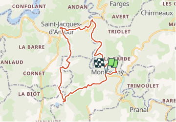
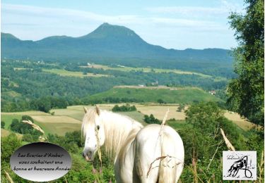
Randonnée Marche de 17 km à découvrir à Auvergne-Rhône-Alpes, Puy-de-Dôme, Montfermy. Cette randonnée est proposée par jagarnier.
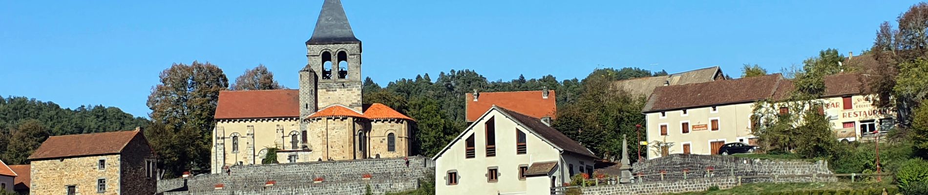
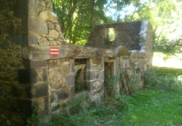
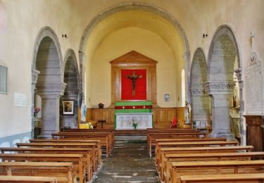
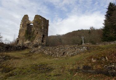
Depuis Montfermy, son site et sa précieuse église, vous longerez les méandres de la Sioule jusqu'au ruines de la chartreuse de Port Sainte Marie. Vous entrerez dans les terres que les chartreux, les bénédictins et les seigneurs locaux exploitèrent au mieux.

Marche
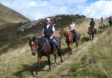
Randonnée équestre
A pied
A pied
A pied
A pied
Randonnée équestre
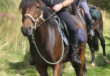
Randonnée équestre
Randonnée équestre