


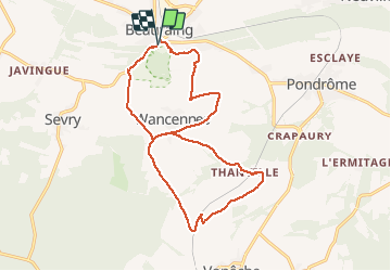

22 km | 28 km-effort


Utilisateur


Application GPS de randonnée GRATUITE
 SityTrail
IGN / Instituts géographiques
SityTrail World
Le monde est à vous
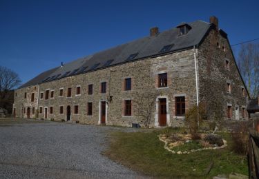
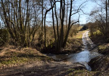
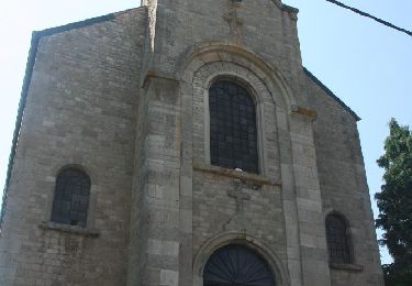
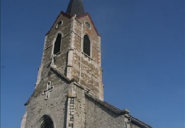
Randonnée Marche de 16,2 km à découvrir à Wallonie, Namur, Beauraing. Cette randonnée est proposée par moniquebvin.
variante d'une promenade du S.I. de Beauraing. Attention ! erreur de fléchage après le pont au-dessus du chemin de fer. J'ai dû traverser un champ pour récupérer le bon chemin
Marche

Marche
Marche
Marche
Marche
Marche
Marche
Marche

Marche