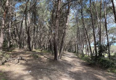
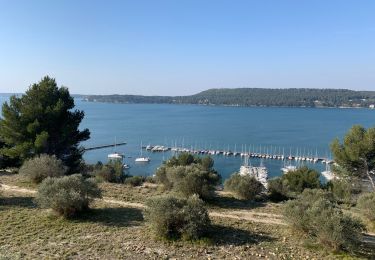
12,3 km | 14,7 km-effort
Tour d’Istres
jtstillgars
Utilisateur
Longueur
4,6 km
Altitude max
54 m
Dénivelé positif
62 m
Km-Effort
5,5 km
Altitude min
2 m
Dénivelé négatif
63 m
Boucle
Oui
Date de création :
2020-05-02 07:51:28.0
Dernière modification :
2020-05-02 09:05:22.243
1h13
Difficulté : Moyen
Application GPS de randonnée GRATUITE
À propos
Randonnée Marche de 4,6 km à découvrir à Provence-Alpes-Côte d'Azur, Bouches-du-Rhône, Istres. Cette randonnée est proposée par jtstillgars.
Localisation
Pays :
France
Région :
Provence-Alpes-Côte d'Azur
Département/Province :
Bouches-du-Rhône
Commune :
Istres
Localité :
Unknown
Départ:(Dec)
Départ:(UTM)
661625 ; 4819699 (31T) N.
Commentaires
Randonnées à proximité
Entre ville et nature - Istres
Marche
Difficile
(2)
Istres,
Provence-Alpes-Côte d'Azur,
Bouches-du-Rhône,
France
4h 0min
Oui
Entre mer et étangs
A pied
Très difficile
Saint-Mitre-les-Remparts,
Provence-Alpes-Côte d'Azur,
Bouches-du-Rhône,
France
39 km | 46 km-effort
10h 22min
Oui
Entre ville et nature (Istres)
A pied
Facile
Istres,
Provence-Alpes-Côte d'Azur,
Bouches-du-Rhône,
France
13,3 km | 15,7 km-effort
3h 34min
Oui
Miramas Istres GR 2013 ALLER
Marche
Facile
(2)
Istres,
Provence-Alpes-Côte d'Azur,
Bouches-du-Rhône,
France
7,6 km | 10 km-effort
2h 6min
Non
Le Ranquet-Istres 30.11.24
Marche
Facile
Istres,
Provence-Alpes-Côte d'Azur,
Bouches-du-Rhône,
France
11,7 km | 14,2 km-effort
3h 30min
Oui
St Chamas la Touloubre
Marche
Facile
Saint-Chamas,
Provence-Alpes-Côte d'Azur,
Bouches-du-Rhône,
France
9,3 km | 11,5 km-effort
4h 10min
Oui
Martigues entre les étangs de Citis et Lavalduc
Marche
Moyen
Istres,
Provence-Alpes-Côte d'Azur,
Bouches-du-Rhône,
France
6,9 km | 8,3 km-effort
1h 53min
Oui
St chamas
Marche
Très facile
Saint-Chamas,
Provence-Alpes-Côte d'Azur,
Bouches-du-Rhône,
France
12 km | 14,3 km-effort
3h 23min
Non
La petite Camargue
A pied
Facile
Saint-Chamas,
Provence-Alpes-Côte d'Azur,
Bouches-du-Rhône,
France
3,7 km | 3,9 km-effort
53min
Oui