


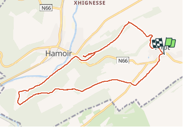


22 km | 28 km-effort


Utilisateur


Application GPS de randonnée GRATUITE
 SityTrail
IGN / Instituts géographiques
SityTrail World
Le monde est à vous
Randonnée Marche de 10 km à découvrir à Wallonie, Liège, Hamoir. Cette randonnée est proposée par chrlouette.
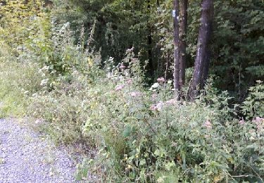
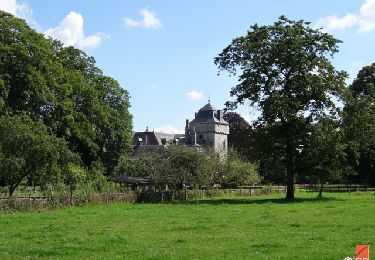
Belle drève de marroniers - Possibilités de restauration à Hamoir - Côte ardue vers le belvédère Sentier de pins superbes - Voir le pompe de Filot.

Marche

Marche

Marche

Marche

Marche

Marche

Marche
Marche