7,9 km | 8,5 km-effort
70
arcioni
Utilisateur
Longueur
10,1 km
Altitude max
286 m
Dénivelé positif
104 m
Km-Effort
11,5 km
Altitude min
227 m
Dénivelé négatif
97 m
Boucle
Non
Date de création :
2020-04-25 12:23:29.708
Dernière modification :
2020-04-25 14:31:35.203
2h04
Difficulté : Très facile
Application GPS de randonnée GRATUITE
À propos
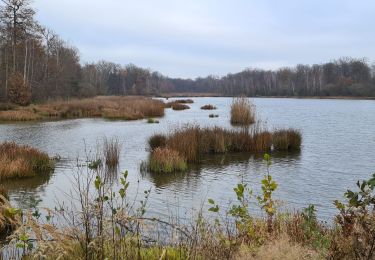
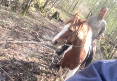
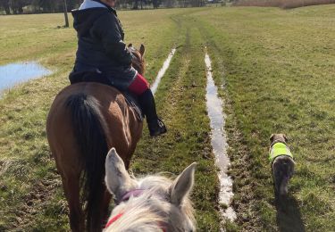
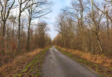
Randonnée Randonnée équestre de 10,1 km à découvrir à Grand Est, Meurthe-et-Moselle, Thiébauménil. Cette randonnée est proposée par arcioni.
Localisation
Pays :
France
Région :
Grand Est
Département/Province :
Meurthe-et-Moselle
Commune :
Thiébauménil
Localité :
Unknown
Départ:(Dec)
Départ:(UTM)
324822 ; 5383613 (32U) N.
Commentaires
Randonnées à proximité
sortie à pieds 20122020
Marche
Très facile
Laronxe,
Grand Est,
Meurthe-et-Moselle,
France
1h 10min
Oui
sortie vtt 29112020 20km St Clément
V.T.T.
Facile
Laronxe,
Grand Est,
Meurthe-et-Moselle,
France
34 km | 37 km-effort
2h 14min
Oui
sortie vtt du 18102020 Lunéville vitrimont
V.T.T.
Moyen
Saint-Clément,
Grand Est,
Meurthe-et-Moselle,
France
45 km | 50 km-effort
2h 56min
Oui
Sortie benamenil
Randonnée équestre
Facile
Bénaménil,
Grand Est,
Meurthe-et-Moselle,
France
10 km | 11,7 km-effort
1h 36min
Oui
Élodie tiboy Vispa
Randonnée équestre
Facile
Bénaménil,
Grand Est,
Meurthe-et-Moselle,
France
13,7 km | 15,7 km-effort
2h 10min
Oui
sortie vtt du 060112019
V.T.T.
Facile
Laronxe,
Grand Est,
Meurthe-et-Moselle,
France
38 km | 0 m-effort
2h 20min
Non
chercher Théo à l'ecole
V.T.T.
Très facile
Saint-Clément,
Grand Est,
Meurthe-et-Moselle,
France
7,9 km | 8,5 km-effort
34min
Non
sortie vtt 25 01 2015 neige
V.T.T.
Moyen
Saint-Clément,
Grand Est,
Meurthe-et-Moselle,
France
31 km | 35 km-effort
2h 18min
Oui
Audax Thiebaumenil Premiere boucle
Marche
Très difficile
Thiébauménil,
Grand Est,
Meurthe-et-Moselle,
France
26 km | 29 km-effort
4h 21min
Oui