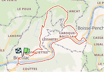

17,6 km | 24 km-effort


Utilisateur


Application GPS de randonnée GRATUITE
 SityTrail
IGN / Instituts géographiques
SityTrail World
Le monde est à vous
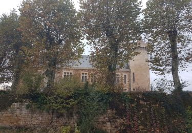
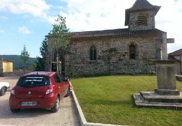
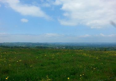
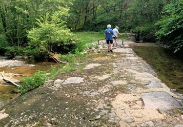
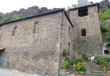
Randonnée Marche de 13,3 km à découvrir à Occitanie, Aveyron, Bouillac. Cette randonnée est proposée par jeanlucien.
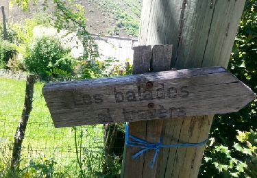
Balisage Jaune
Donnée pour 03:30.
Difficulté ** (descente assez raide et caillouteuse)
A pied
Marche