


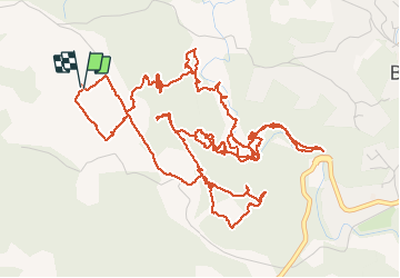


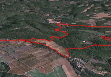
6,9 km | 8,4 km-effort

Utilisateur


Application GPS de randonnée GRATUITE
 SityTrail
IGN / Instituts géographiques
SityTrail World
Le monde est à vous
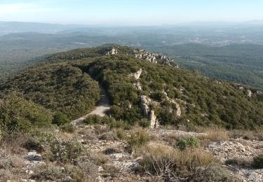
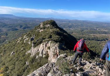
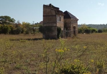
Randonnée Marche de 10,7 km à découvrir à Provence-Alpes-Côte d'Azur, Var, Barjols. Cette randonnée est proposée par bernir.
recherche du sentier de dédé et de toinou entre les "hauts defends "et "ste madeleine"


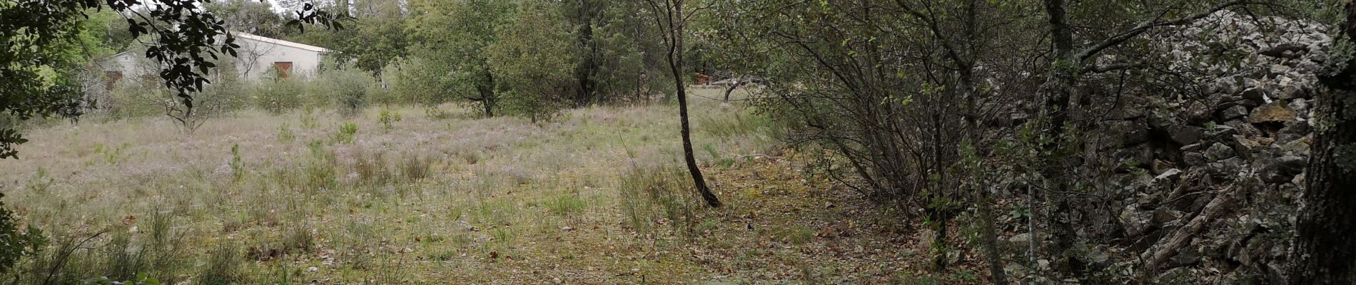
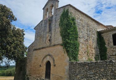
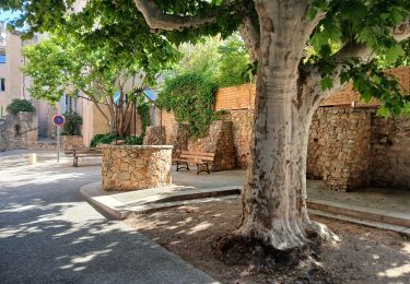
55 photos au total. Cliquez sur une photo pour les afficher toutes dans la galerie.
Marche nordique
Marche nordique

Marche
Marche
Marche
Marche
A pied
Marche
Marche