


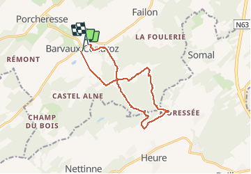

7,9 km | 9,8 km-effort

Utilisateur


Application GPS de randonnée GRATUITE
 SityTrail
IGN / Instituts géographiques
SityTrail World
Le monde est à vous
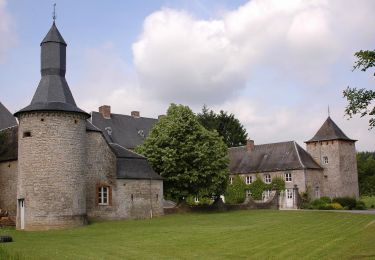
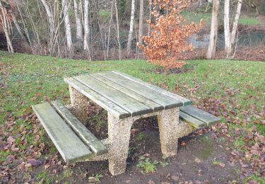
Randonnée Marche de 12 km à découvrir à Wallonie, Namur, Havelange. Cette randonnée est proposée par francineposkin.
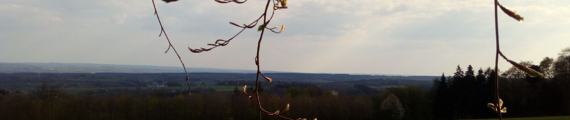
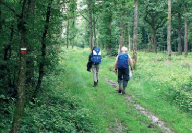
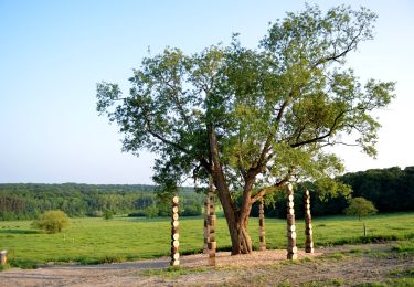
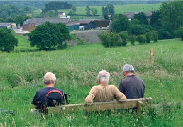
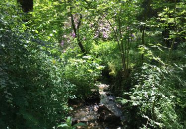
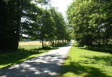
Promenade variée entre Condroz et Famenne, sur les "tiges" et dans les bois. Ne pas faire après de fortes pluies... Beaux paysages.


Marche
Marche
Marche
Marche

Marche

Marche
Marche
Marche
Marche