


11,2 km | 13,9 km-effort

Utilisateur


Application GPS de randonnée GRATUITE
 SityTrail
IGN / Instituts géographiques
SityTrail World
Le monde est à vous
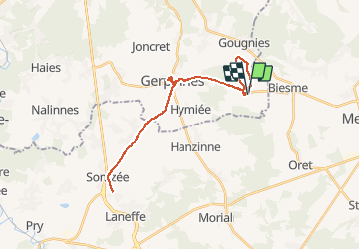
Randonnée Marche de 30 km à découvrir à Wallonie, Hainaut, Gerpinnes. Cette randonnée est proposée par Michel Tondus.
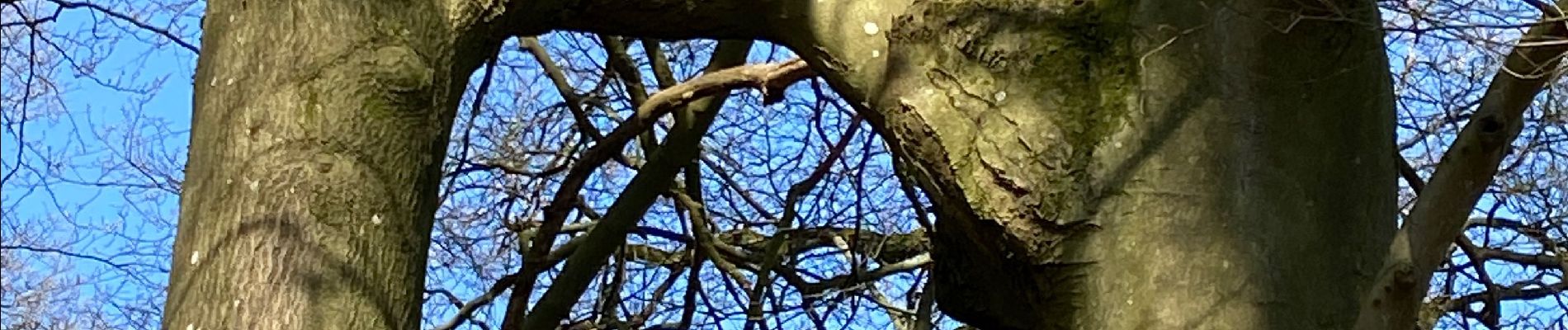
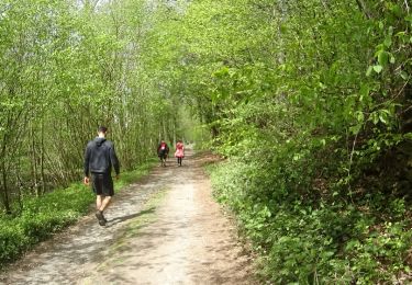
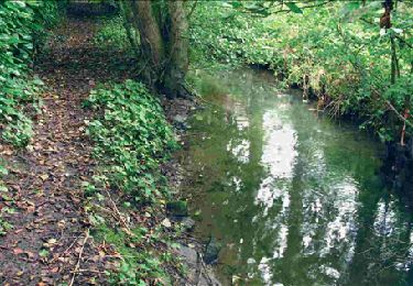
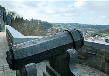
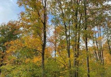
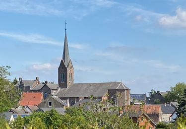
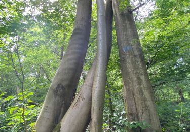
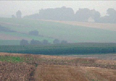
Départ du gîte vers les hêtres enlacés, le chêne Sainte Rolende, passage près de la ferme des longs Bonniers et retour vers Fromiée. Parcours entièrement campagnard sur chemin empierré. Belle vue des villages environnants.


Marche

Marche
Marche
Marche
Marche
Marche
Marche
Marche
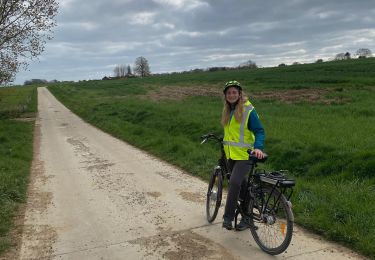
Vélo de route