


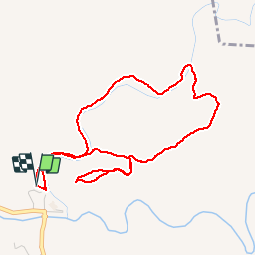


6,6 km | 8,2 km-effort


Utilisateur


Application GPS de randonnée GRATUITE
 SityTrail
IGN / Instituts géographiques
SityTrail World
Le monde est à vous
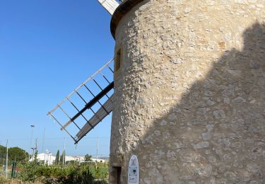
Randonnée Marche de 5,3 km à découvrir à Provence-Alpes-Côte d'Azur, Bouches-du-Rhône, La Barben. Cette randonnée est proposée par jymrando.
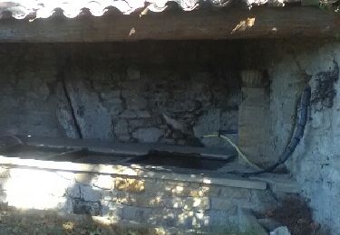
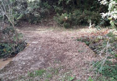
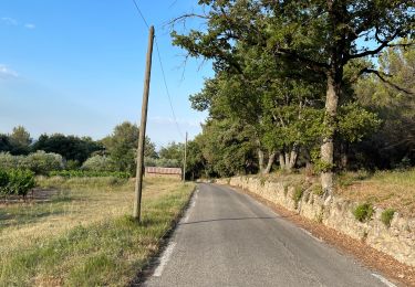
Agréable petite rando, avec de beaux points de vue sur les gorges de la Touloubre et le château au retour. Une portion de descente un peu raide.

Autre activité

V.T.T.
Autre activité

Marche

V.T.T.
Marche
Marche
Marche
Marche