


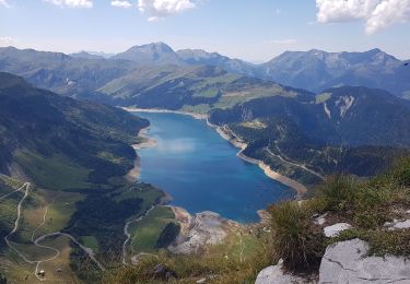
16,7 km | 28 km-effort


Utilisateur


Application GPS de randonnée GRATUITE
 SityTrail
IGN / Instituts géographiques
SityTrail World
Le monde est à vous
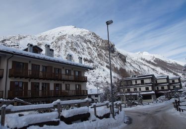
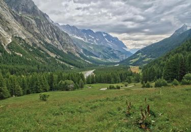
Randonnée A pied de 6,9 km à découvrir à Auvergne-Rhône-Alpes, Savoie, Bourg-Saint-Maurice. Cette randonnée est proposée par hugo26.
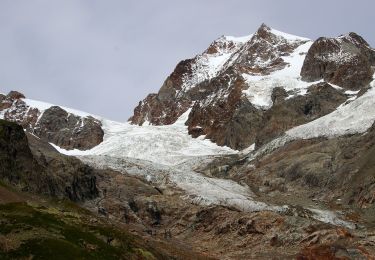
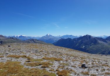
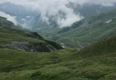
Belle rando en aller retour depuis les chapieux. Du refuge possible col du mont tondu 3196 m .Matériel via ferrata.

Marche

Ski de randonnée
A pied
A pied
Marche
Marche
A pied
Marche
Marche