![](/images/other/stat-length.png)
le GR655 dans les Forêts de Laigue et de Compiègne
en forêt de Compiègne
mes randos en forêt
![Longueur](/images/other/stat-length.png)
![Altitude max](https://static1.geolcdn.com/siteimages/upload/files/1508320355ic_sort_altitude_max_24dp.png)
![Dénivelé positif](https://static1.geolcdn.com/siteimages/upload/files/1508320355ic_sort_den_pos_24dp.png)
![Km-Effort](/images/other/stat-length.png)
![Altitude min](https://static1.geolcdn.com/siteimages/upload/files/1508320355ic_sort_altitude_min_24dp.png)
![Dénivelé négatif](https://static1.geolcdn.com/siteimages/upload/files/1508320355ic_sort_den_neg_24dp.png)
![Boucle](https://static1.geolcdn.com/siteimages/upload/files/16400158638029165_repeat_loop_refresh_sync_direction_icon.png)
![A pied](https://static1.geolcdn.com/sitytour/trail-icons/100.png)
--
Difficulté : Très difficile
![Scannez ce code QR pour ouvrir la randonnée dans l'application SityTrail](https://capi.geolives.com/qq0zvz2zws4bq2lad0pu/sitytour/trails/2373738/qr.png?size=200)
Application GPS de randonnée GRATUITE
À propos
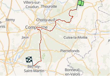
Randonnée A pied de 39 km à découvrir à Hauts-de-France, Oise, Tracy-le-Mont. Cette randonnée est proposée par en forêt de Compiègne.
Description
voir aussi:
http://foret-de-compiegne.over-blog.com/2020/04/le-gr655-dans-les-forets-de-compiegne-et-de-laigue.html
Il traverse la forêt de Laigue (Nord-ESt) et la forêt de Compiègne (Sud-Ouest). J'ai placé le point de départ à Tracy-le-Mont et le point d'arrivée à Béthisy Saint-Pierre sachant que ce GR va bien au-delà de ces points mais je me limite aux 2 forêts.
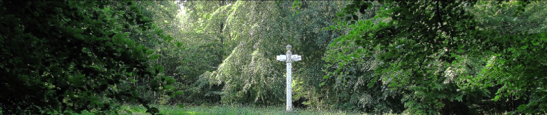
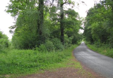
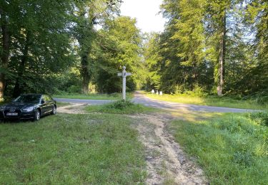
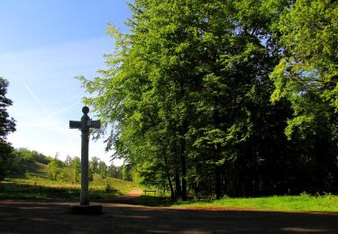
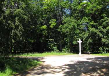
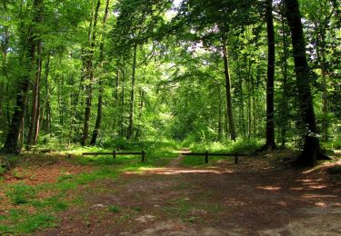
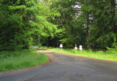
Ce GR traverse quelques km de routes goudronnées, des magnifiques chemins forestiers, un pont qui enjambe l'Aisne, une Allée Impériale et des tous petits sentiers à peine visibles. Le GR655 passe aussi prés d'étangs comme les étangs du domaine d'Offémont et l'étang du Vivier du Grés.
Autre particularité pour la forêt de Laigue: le GR655 chevauche le GR12A jusqu'au carrefour du Précipice de l'Ortille dans la forêt de Compiègne. De même, cet article sera repris dans le blog de la forêt de Compiègne.
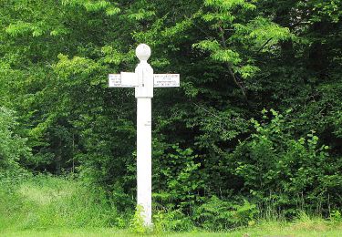
Il peut arriver souvent que ce GR porte le nom de routes forestières.
Longueur estimée de cette portion de GR655 : 38,6 km
En théorie, il est faisable en randonnée à pied (pas d'obstacle) mais en une journée? Et c'est pour l'aller ...
Localisation
Commentaires
Randonnées à proximité
![Marche Marche](https://static1.geolcdn.com/sitytour/trail-icons/101.png)
Marche
![](/images/other/stat-length.png)
![](https://static1.geolcdn.com/siteimages/upload/files/16400158638029165_repeat_loop_refresh_sync_direction_icon.png)
![Randonnée Marche Carlepont - Carlepont - Photo](https://media.geolcdn.com/t/375/260/ext.jpg?maxdim=2&url=https%3A%2F%2Fstatic1.geolcdn.com%2Fsiteimages%2Fupload%2Ffiles%2F1553511878bg_sport_marche.png)
![Marche Marche](https://static1.geolcdn.com/sitytour/trail-icons/101.png)
Marche
![](/images/other/stat-length.png)
![](https://static1.geolcdn.com/siteimages/upload/files/16400158638029165_repeat_loop_refresh_sync_direction_icon.png)
![Randonnée Marche Rethondes - en forêt de Laigue_15_07_2021_autour du Mont du Fouilleux et du Mont des Singes - Photo](https://media.geolcdn.com/t/375/260/ae49f85a-387f-48a8-bf93-e96ca1fcfc19.jpg&format=jpg&maxdim=2)
![Marche Marche](https://static1.geolcdn.com/sitytour/trail-icons/101.png)
Marche
![](/images/other/stat-length.png)
![](https://static1.geolcdn.com/siteimages/upload/files/16400158638029165_repeat_loop_refresh_sync_direction_icon.png)
![Marche Marche](https://static1.geolcdn.com/sitytour/trail-icons/101.png)
Marche
![](/images/other/stat-length.png)
![](https://static1.geolcdn.com/siteimages/upload/files/16400158638029165_repeat_loop_refresh_sync_direction_icon.png)
![Marche Marche](https://static1.geolcdn.com/sitytour/trail-icons/101.png)
Marche
![](/images/other/stat-length.png)
![](https://static1.geolcdn.com/siteimages/upload/files/16400158638029165_repeat_loop_refresh_sync_direction_icon.png)
![Marche Marche](https://static1.geolcdn.com/sitytour/trail-icons/101.png)
Marche
![](/images/other/stat-length.png)
![](https://static1.geolcdn.com/siteimages/upload/files/16400158638029165_repeat_loop_refresh_sync_direction_icon.png)
![Marche Marche](https://static1.geolcdn.com/sitytour/trail-icons/101.png)
Marche
![](/images/other/stat-length.png)
![](https://static1.geolcdn.com/siteimages/upload/files/16400158638029165_repeat_loop_refresh_sync_direction_icon.png)
![A pied A pied](https://static1.geolcdn.com/sitytour/trail-icons/100.png)
A pied
![](/images/other/stat-length.png)
![](https://static1.geolcdn.com/siteimages/upload/files/16400158638029165_repeat_loop_refresh_sync_direction_icon.png)
![Marche Marche](https://static1.geolcdn.com/sitytour/trail-icons/101.png)
Marche
![](/images/other/stat-length.png)
![](https://static1.geolcdn.com/siteimages/upload/files/16400158638029165_repeat_loop_refresh_sync_direction_icon.png)