


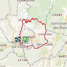

14,1 km | 24 km-effort


Utilisateur


Application GPS de randonnée GRATUITE
 SityTrail
IGN / Instituts géographiques
SityTrail World
Le monde est à vous
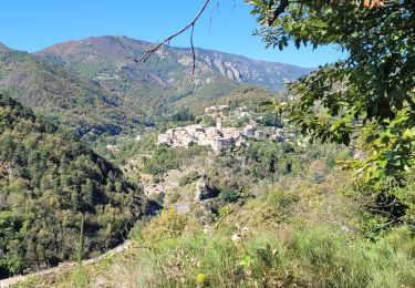
Randonnée Marche de 14 km à découvrir à Auvergne-Rhône-Alpes, Ardèche, Vallées-d'Antraigues-Asperjoc. Cette randonnée est proposée par marquet.
col de genestelle, conchis,bise, le mas.
eventuellement mettre une voiture au Mas pour eviter 3km de route sans grand interet.
Marche
Marche

Marche

Marche
Marche
Marche
Marche

Marche
Marche