![](/images/other/stat-length.png)
![Randonnée Marche Vinay - Vinay - La Blache - Les Ecuries de Charroi - Photo](https://media.geolcdn.com/t/1900/400/ext.pjpeg?maxdim=2&url=https%3A%2F%2Fstatic1.geolcdn.com%2Fsiteimages%2Fupload%2Ffiles%2F1553511878bg_sport_marche.png)
Vinay - La Blache - Les Ecuries de Charroi
crocau
Utilisateur
![Longueur](/images/other/stat-length.png)
![Altitude max](https://static1.geolcdn.com/siteimages/upload/files/1508320355ic_sort_altitude_max_24dp.png)
![Dénivelé positif](https://static1.geolcdn.com/siteimages/upload/files/1508320355ic_sort_den_pos_24dp.png)
![Km-Effort](/images/other/stat-length.png)
![Altitude min](https://static1.geolcdn.com/siteimages/upload/files/1508320355ic_sort_altitude_min_24dp.png)
![Dénivelé négatif](https://static1.geolcdn.com/siteimages/upload/files/1508320355ic_sort_den_neg_24dp.png)
![Boucle](https://static1.geolcdn.com/siteimages/upload/files/16400158638029165_repeat_loop_refresh_sync_direction_icon.png)
![Marche](https://static1.geolcdn.com/sitytour/trail-icons/101.png)
2h00
Difficulté : Très facile
![Scannez ce code QR pour ouvrir la randonnée dans l'application SityTrail](https://capi.geolives.com/qq0zvz2zws4bq2lad0pu/sitytour/trails/2371319/qr.png?size=200)
Application GPS de randonnée GRATUITE
À propos
Randonnée Marche de 6,8 km à découvrir à Auvergne-Rhône-Alpes, Isère, Vinay. Cette randonnée est proposée par crocau.
Description
ATTENTION: le point de départ et d'arrivée ne sont pas les bons sur la carte:
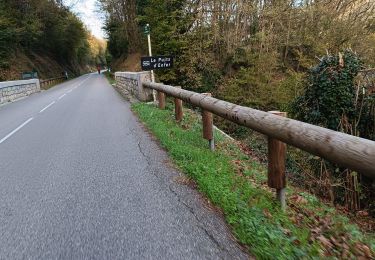
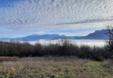
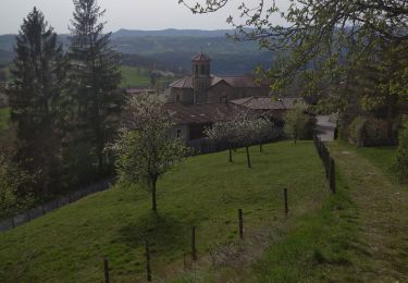
Un sentier jaune part de devant la piscine de Vinay( montée Penet). On arrive sur le plateau de la Blache et on traverse des fermes, la fauvette à tête noire nous accompagne.
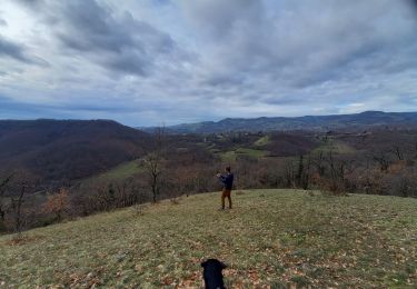
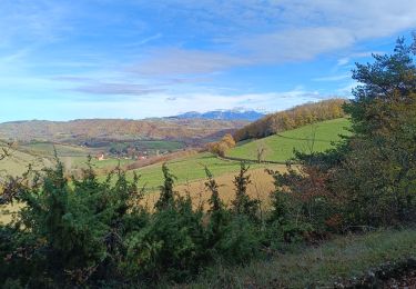
On coupe la route de Varacieux, on rejoint le chemin du Devers et on pointe sur Notre dame de Lozier. On aperçoit d'ailleurs en contre bas la route qui va à Serre Nerpol et le carrefour qui va à Notre Dame de Lozier.
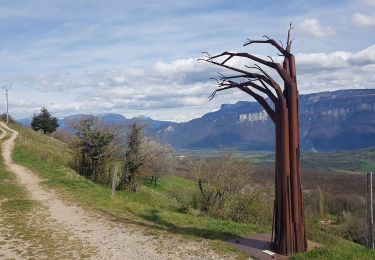
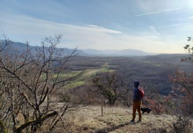
On grimpe jusqu'à L'écurie de Charroi et c'est là que l'on repointe sur Vinay. Petit à petit on regagne un sentier de rando jaune et rouge au dessus du chemin de Devers que l'on prend donc à l'envers pour finir notre 8.
Localisation
Commentaires
Randonnées à proximité
![Randonnée Marche Vatilieu - 38 vatilieu - Photo](https://media.geolcdn.com/t/375/260/b269b01e-8989-441e-b082-d3b28704dde9.jpg&format=jpg&maxdim=2)
![Marche Marche](https://static1.geolcdn.com/sitytour/trail-icons/101.png)
Marche
![](/images/other/stat-length.png)
![](https://static1.geolcdn.com/siteimages/upload/files/16400158638029165_repeat_loop_refresh_sync_direction_icon.png)
![Randonnée Vélo de route Beaulieu - Beaulieu - Cognin par la pisciculture - Photo](https://media.geolcdn.com/t/375/260/35ef182e-2ae6-4c48-a6bb-babdec0fa24b.jpg&format=jpg&maxdim=2)
![Vélo de route Vélo de route](https://static1.geolcdn.com/sitytour/trail-icons/201.png)
Vélo de route
![](/images/other/stat-length.png)
![](https://static1.geolcdn.com/siteimages/upload/files/16400158638029165_repeat_loop_refresh_sync_direction_icon.png)
![Randonnée Marche Vatilieu - Les Crêtes de Vatilieu - Photo](https://media.geolcdn.com/t/375/260/2a3eeb1a-222b-49d5-98c3-83171aaed5b5.jpg&format=jpg&maxdim=2)
![Marche Marche](https://static1.geolcdn.com/sitytour/trail-icons/101.png)
Marche
![](/images/other/stat-length.png)
![](https://static1.geolcdn.com/siteimages/upload/files/16400158638029165_repeat_loop_refresh_sync_direction_icon.png)
![Randonnée V.T.T. Vinay - Vinay-Serre de TrellinsPlaine-Pont de Treillins - Photo](https://media.geolcdn.com/t/375/260/ccbde911-1943-49b6-b0da-7e8d0a5dd2db.jpg&format=jpg&maxdim=2)
![V.T.T. V.T.T.](https://static1.geolcdn.com/sitytour/trail-icons/202.png)
V.T.T.
![](/images/other/stat-length.png)
![](https://static1.geolcdn.com/siteimages/upload/files/16400158638029165_repeat_loop_refresh_sync_direction_icon.png)
![Randonnée Marche Serre-Nerpol - Crêtes de Senepol- La Routière - Photo](https://media.geolcdn.com/t/375/260/3ca501d9-5e9d-4131-9d18-b4898610f954.jpg&format=jpg&maxdim=2)
![Marche Marche](https://static1.geolcdn.com/sitytour/trail-icons/101.png)
Marche
![](/images/other/stat-length.png)
![](https://static1.geolcdn.com/siteimages/upload/files/16400158638029165_repeat_loop_refresh_sync_direction_icon.png)
![Randonnée Marche Chantesse - Traversée Chantesse Vitalieu Vinay - Photo](https://media.geolcdn.com/t/375/260/fcb44952-9760-427c-a2ff-8d11a64ffce4.jpg&format=jpg&maxdim=2)
![Marche Marche](https://static1.geolcdn.com/sitytour/trail-icons/101.png)
Marche
![](/images/other/stat-length.png)
![](https://static1.geolcdn.com/siteimages/upload/files/16400158638029165_repeat_loop_refresh_sync_direction_icon.png)
![Randonnée Marche Varacieux - Le Molard d'Essemat- Varacieux - Photo](https://media.geolcdn.com/t/375/260/a5d0403b-ce12-4804-bf0d-c01332f8e7cc.jpg&format=jpg&maxdim=2)
![Marche Marche](https://static1.geolcdn.com/sitytour/trail-icons/101.png)
Marche
![](/images/other/stat-length.png)
![](https://static1.geolcdn.com/siteimages/upload/files/16400158638029165_repeat_loop_refresh_sync_direction_icon.png)
![Randonnée V.T.T. L'Albenc - autour de l'albenc - vtt - episode 1 - Photo](https://media.geolcdn.com/t/375/260/ext.jpg?maxdim=2&url=https%3A%2F%2Fservices.sitytrail.com%2FGeolivesWS%2FDownloadMedia.ashx%3FTrailID%3D1058080%26Media%3Dfix__20181017145623.jpg)
![V.T.T. V.T.T.](https://static1.geolcdn.com/sitytour/trail-icons/202.png)
V.T.T.
![](/images/other/stat-length.png)
![](https://static1.geolcdn.com/siteimages/upload/files/16400158638029165_repeat_loop_refresh_sync_direction_icon.png)
![Randonnée Marche Chasselay - La table d'orientation à Chasselay marche - Photo](https://media.geolcdn.com/t/375/260/829b6e93-3b3c-41cf-8044-ed5d29756dfc.jpg&format=jpg&maxdim=2)
![Marche Marche](https://static1.geolcdn.com/sitytour/trail-icons/101.png)
Marche
![](/images/other/stat-length.png)
![](https://static1.geolcdn.com/siteimages/upload/files/16400158638029165_repeat_loop_refresh_sync_direction_icon.png)