Randonnée Marche Torreilles - Faivre 1 - Photo
 danieldub
danieldub

Utilisateur

© OpenStreetMap contributors
Longueur
Longueur
5,7 km
Altitude max
Altitude max
10 m
Dénivelé positif
Dénivelé positif
23 m
Km-Effort
Km-Effort  
6 km
Altitude min
Altitude min
0 m
Dénivelé négatif
Dénivelé négatif
18 m
Boucle
Boucle
Oui
Date de création :
2020-03-25 13:49:52.0
Dernière modification :
2020-03-25 14:56:44.772

(0 Avis)

Marche
Marche
1h07
Difficulté : Inconnu

Scannez ce code QR pour ouvrir la randonnée dans l'application SityTrail

Application GPS de randonnée GRATUITE

Logo SityTrail SityTrail

IGN / Instituts géographiques

Télécharger SityTrail sur l'App Store Télécharger SityTrail sur Google Play

Logo SityTrail SityTrail World

Le monde est à vous

Télécharger SityTrail sur l'App Store Télécharger SityTrail sur Google Play Télécharger SityTrail sur Huawei AppGallery

À propos

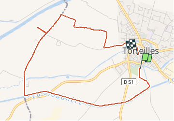
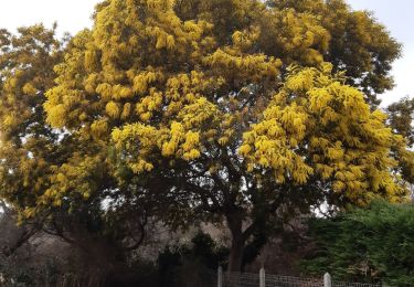
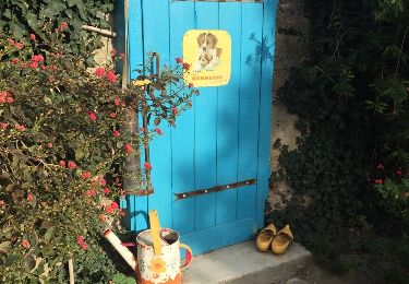
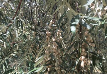
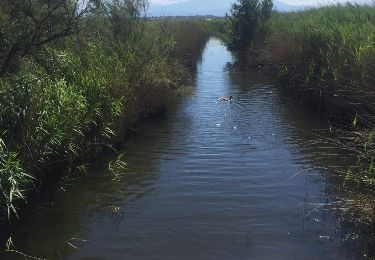
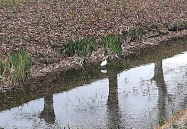
Randonnée Marche de 5,7 km à découvrir à Occitanie, Pyrénées-Orientales, Torreilles. Cette randonnée est proposée par danieldub.

Description

Rigole bouliste, Faivre et vignes avant Jouhegues

Profil altimétrique

Localisation

Pays :
France
Région :
Occitanie
Département/Province :
Pyrénées-Orientales
Commune :
Torreilles
Localité :
Unknown
Départ:(Dec)
Départ:(UTM)
499410 ; 4733328 (31T) N.

Randonnées à proximité

Randonnée Marche Bompas - 66 BOMPAS - promenade en SALANQUE entre Bassas et Agullas - Photo
Marche
jeff66

Marche

Facile
(1)
Bompas, Occitanie, Pyrénées-Orientales, France
11,1 km | 11,6 km-effort
2h 36min
Oui
Randonnée Marche Sainte-Marie-la-Mer - sainte marie la mer - village et plage  - Photo
Marche
GUIDE
stef789

Marche

Facile
Sainte-Marie-la-Mer, Occitanie, Pyrénées-Orientales, France
8,6 km | 8,9 km-effort
2h 40min
Oui
Randonnée Marche Sainte-Marie-la-Mer - sainte Marie la mer HUIT KM plus retour en voiture oups désolé  - Photo
Marche
GUIDE
stef789

Marche

Très difficile
Sainte-Marie-la-Mer, Occitanie, Pyrénées-Orientales, France
45 km | 49 km-effort
4h 18min
Non
Randonnée Marche Sainte-Marie-la-Mer - sainte-marie côté mer  - Photo
Marche
GUIDE
stef789

Marche

Très facile
Sainte-Marie-la-Mer, Occitanie, Pyrénées-Orientales, France
8,4 km | 8,7 km-effort
2h 45min
Oui
Randonnée Marche Bompas - 66 BOMPAS - itinéraire partagé piétions cycliste en bord de Tet, berge Têt, Bas Vernet, retour par les canaux et centre ville de BOMPAS  - Photo
Marche
jeff66

Marche

Moyen
Bompas, Occitanie, Pyrénées-Orientales, France
13,4 km | 14,2 km-effort
2h 23min
Oui
Randonnée Marche Sainte-Marie-la-Mer - 66 SAINTE-MARIE-LA-MER - à Sainte-Marie plage par la SALANQUE, la TÊT, le port le front de mer, et les canaux  - Photo
Marche
jeff66

Marche

Moyen
(1)
Sainte-Marie-la-Mer, Occitanie, Pyrénées-Orientales, France
12,1 km | 12,6 km-effort
2h 0min
Oui
Randonnée Marche Canet-en-Roussillon - CANET-EN-ROUSSILLON 66 - entre TÊT, marais. étang et RÉART  - Photo
Marche
jeff66

Marche

Moyen
(1)
Canet-en-Roussillon, Occitanie, Pyrénées-Orientales, France
16,3 km | 17,5 km-effort
2h 49min
Oui
Randonnée Marche Canet-en-Roussillon - petit tour à l´arboretum de Canet ... bof bof bof  - Photo
Marche
GUIDE
stef789

Marche

Facile
Canet-en-Roussillon, Occitanie, Pyrénées-Orientales, France
1,2 km | 1,2 km-effort
1h 8min
Oui
Randonnée Marche Saint-Hippolyte - st hippolyte - Photo
Marche
66Gribouille83

Marche

Moyen
Saint-Hippolyte, Occitanie, Pyrénées-Orientales, France
8 km | 8,3 km-effort
2h 32min
Oui


Fermer
Mes abonnements