


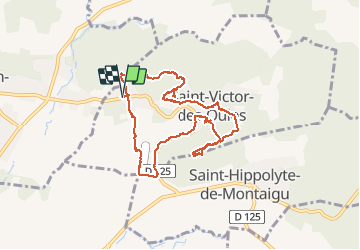

18,2 km | 22 km-effort

Utilisateur


Application GPS de randonnée GRATUITE
 SityTrail
IGN / Instituts géographiques
SityTrail World
Le monde est à vous
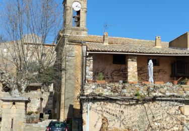
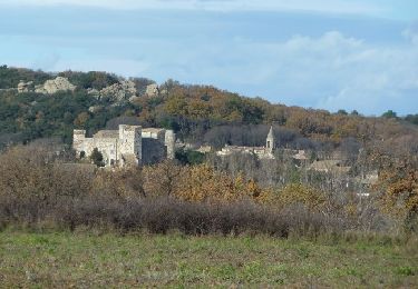
Randonnée Marche de 9,2 km à découvrir à Occitanie, Gard, Saint-Victor-des-Oules. Cette randonnée est proposée par Dan30.
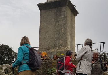
mas de Camille , st victor par la forêt, centre village, montée à la madone, mont st aigu, retour par le lavoir et jardin des oules puis mas des oules puis petit aérodrome privé puis dourquier


Marche

Marche


sport
Marche
Marche
Marche

V.T.T.

V.T.T.
Marche