


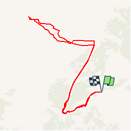

4,5 km | 7,4 km-effort


Utilisateur


Application GPS de randonnée GRATUITE
 SityTrail
IGN / Instituts géographiques
SityTrail World
Le monde est à vous
Randonnée Autre activité de 10,9 km à découvrir à Valais, Conthey, Conthey. Cette randonnée est proposée par sterrettaz.
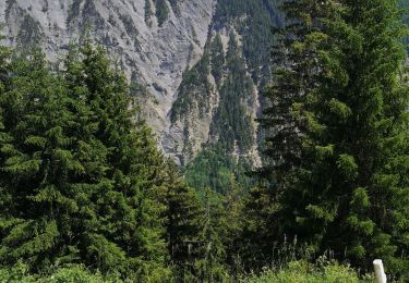
Col à l''ouest du Mont Gond,
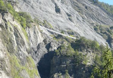
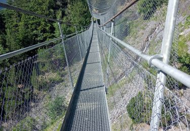
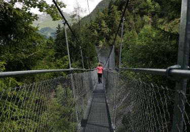
Superbe point de vue, montée avec Ben G-C.
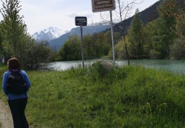
Superbe descente
PS Le même jour que Jy dans la face N du bec d''Orzival!
A pied

Marche

A pied

Autre activité
Marche nordique

Marche
Marche