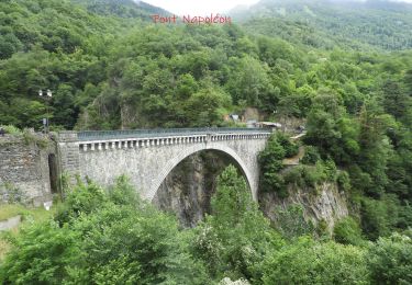
9,1 km | 18,9 km-effort
LUZ -esterre-les-villages-du-bastan-g3
marmotte65
Utilisateur GUIDE
Longueur
9,2 km
Altitude max
1148 m
Dénivelé positif
583 m
Km-Effort
17 km
Altitude min
757 m
Dénivelé négatif
583 m
Boucle
Oui
Date de création :
2020-03-21 11:24:39.217
Dernière modification :
2020-03-22 17:16:38.212
--
Difficulté : Difficile
Application GPS de randonnée GRATUITE
À propos
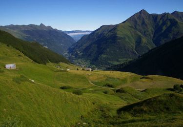
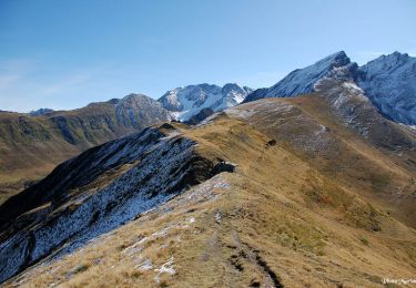
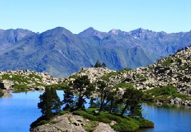
Randonnée A pied de 9,2 km à découvrir à Occitanie, Hautes-Pyrénées, Esterre. Cette randonnée est proposée par marmotte65.
Localisation
Pays :
France
Région :
Occitanie
Département/Province :
Hautes-Pyrénées
Commune :
Esterre
Localité :
Unknown
Départ:(Dec)
Départ:(UTM)
255495 ; 4751281 (31T) N.
Commentaires
Randonnées à proximité
Le Pic Bergons
Marche
Moyen
(2)
Luz-Saint-Sauveur,
Occitanie,
Hautes-Pyrénées,
France
4,6 km | 10,2 km-effort
2h 10min
Oui
ESTERRE Viella / Luz / Esquieze / Esterre en boucle la bonne (G3) 2587190
A pied
Très facile
(1)
Esterre,
Occitanie,
Hautes-Pyrénées,
France
9,4 km | 15,5 km-effort
Inconnu
Oui
Pic Bergons 2068m
Marche
Moyen
(1)
Luz-Saint-Sauveur,
Occitanie,
Hautes-Pyrénées,
France
5,9 km | 14 km-effort
6h 0min
Oui
Lac de Bastampe 2019m
Marche
Difficile
(1)
Sazos,
Occitanie,
Hautes-Pyrénées,
France
13 km | 27 km-effort
5h 0min
Oui
ESTERRE Villenave st Sauveur Luz Esterre G4 "3613212"
A pied
Facile
Esterre,
Occitanie,
Hautes-Pyrénées,
France
9,4 km | 14,2 km-effort
3h 13min
Oui
BAREGES le tour des plateaux G4 reco 3264577
Marche
Moyen
Barèges,
Occitanie,
Hautes-Pyrénées,
France
7,2 km | 11 km-effort
2h 4min
Oui
LUZ SAINT SAUVEUR Les chemins de l agnouede bis
A pied
Facile
Luz-Saint-Sauveur,
Occitanie,
Hautes-Pyrénées,
France
11,8 km | 18,5 km-effort
4h 12min
Oui
ESTERRE et sa banlieue G4 fait le 15 02 2021
Marche
Facile
Esterre,
Occitanie,
Hautes-Pyrénées,
France
8,5 km | 12,6 km-effort
2h 32min
Oui