


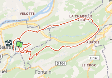

16,8 km | 24 km-effort

Utilisateur


Application GPS de randonnée GRATUITE
 SityTrail
IGN / Instituts géographiques
SityTrail World
Le monde est à vous
Randonnée Marche de 13 km à découvrir à Bourgogne-Franche-Comté, Doubs, Beure. Cette randonnée est proposée par eltonnermou.
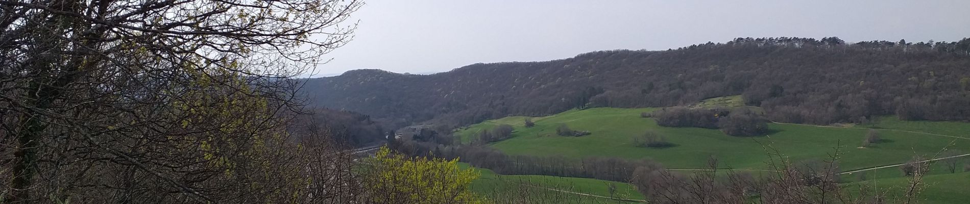
un beau parcours à travers prairies et bois, de beaux points de vue tout au long du parcours et pour finir par une voie celtique ou romaine avec les traces des chariots dans la roche.


Marche

Marche

Marche

Marche

Marche

A pied

A pied

A pied

A pied