


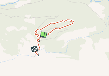


9,6 km | 17,9 km-effort


Utilisateur


Application GPS de randonnée GRATUITE
 SityTrail
IGN / Instituts géographiques
SityTrail World
Le monde est à vous
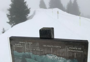
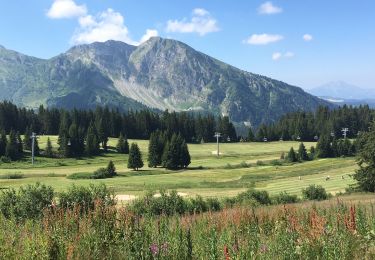
Randonnée Marche de 3 km à découvrir à Valais, Monthey, Champéry. Cette randonnée est proposée par otchampery.
Le sentier forestier, läd sie zu einem Spaziergang im Wald von Barme ein. Auf dem Weg durchleben sie erneut den Orkan von 1962. Ausserdem werden sie das Holz und seine Feinde kennenlernen und erfahren welche Rolle der Bergwald für unsere Umwelt spielt.

Marche
Marche

A pied

Marche

Marche
Marche
A pied
Raquettes à neige
Marche