


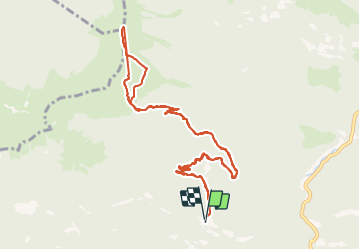

11,7 km | 24 km-effort


Utilisateur


Application GPS de randonnée GRATUITE
 SityTrail
IGN / Instituts géographiques
SityTrail World
Le monde est à vous
Randonnée Marche de 13 km à découvrir à Occitanie, Hautes-Pyrénées, Ferrère. Cette randonnée est proposée par dawed311.
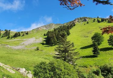
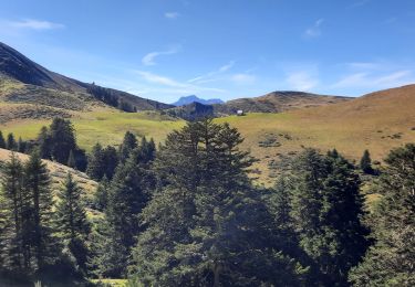
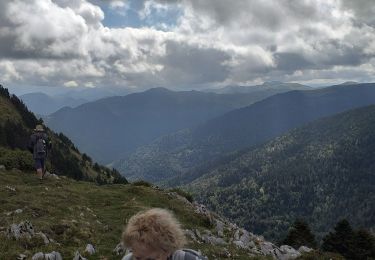
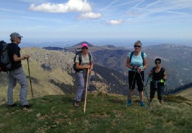
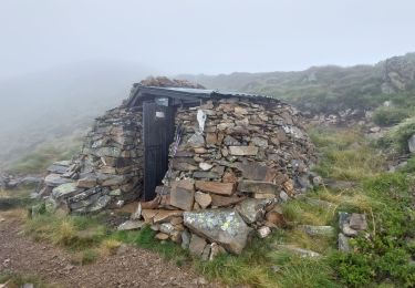
Je visais la Montagne d'Areng mais les névés,sans crampons, m'ont fait bifurquer vers ce sommet. Montée raide et sans réel sentier. La vue au sommet mérite le détour. Sommet fréquenté surtout par les familles venant de Nistos, plus facile pour les enfants
Marche
Marche
Marche
Marche
Marche
Marche
Marche

Marche
Marche