


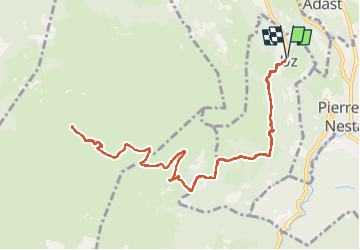

11,8 km | 20 km-effort


Utilisateur


Application GPS de randonnée GRATUITE
 SityTrail
IGN / Instituts géographiques
SityTrail World
Le monde est à vous
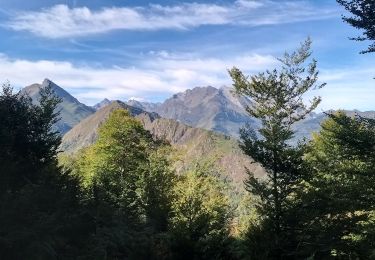
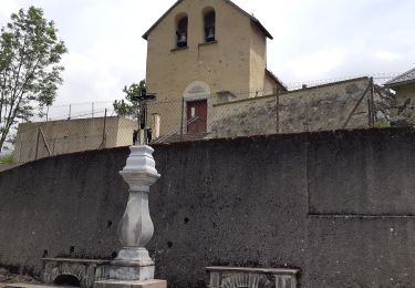
Randonnée Marche de 13,6 km à découvrir à Occitanie, Hautes-Pyrénées, Uz. Cette randonnée est proposée par mitch1952.
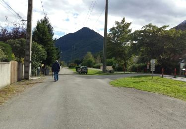
Départ du village de Uz au dessus de Saint Savin , randonnée réalisée avec Marie Pierre et son époux Jean.
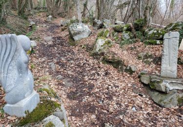
Temps froid , brouillard épais

Marche

Vélo électrique

Marche
Marche

Marche
A pied
Marche
Marche
Marche