


65 km | 93 km-effort

Utilisateur


Application GPS de randonnée GRATUITE
 SityTrail
IGN / Instituts géographiques
SityTrail World
Le monde est à vous
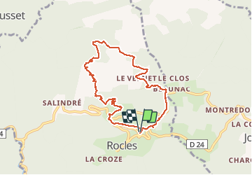
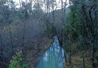
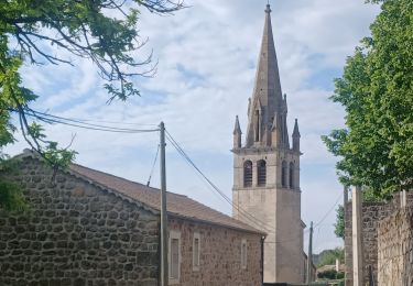
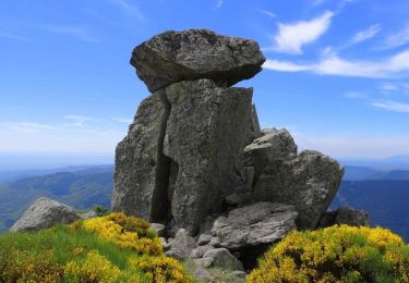
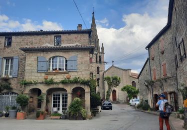
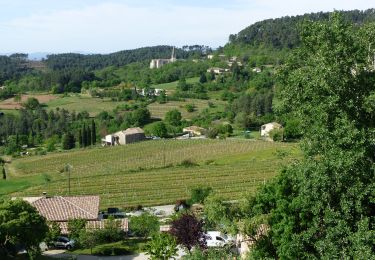
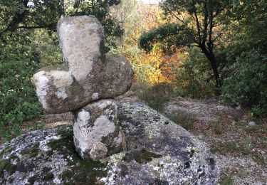
Randonnée Marche de 8,3 km à découvrir à Auvergne-Rhône-Alpes, Ardèche, Rocles. Cette randonnée est proposée par ganinette.
Très belle rando avec un peu de grimpette sans plus et à la porté de toute la famille.
Très beau paysage.


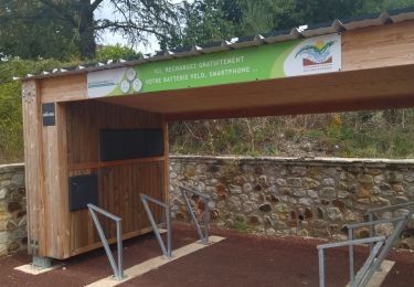
24 photos au total. Cliquez sur une photo pour les afficher toutes dans la galerie.
V.T.T.
Marche
Marche
Vélo de route
Marche
Marche
Marche
Marche
Marche