


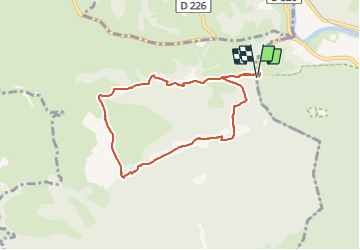


10,8 km | 13,8 km-effort


Utilisateur GUIDE


Application GPS de randonnée GRATUITE
 SityTrail
IGN / Instituts géographiques
SityTrail World
Le monde est à vous
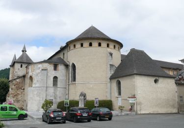
Randonnée A pied de 8 km à découvrir à Occitanie, Hautes-Pyrénées, Saint-Pé-de-Bigorre. Cette randonnée est proposée par marmotte65.
Coordonnées parking départ N43 05 59 .5 W 000 11 51.9
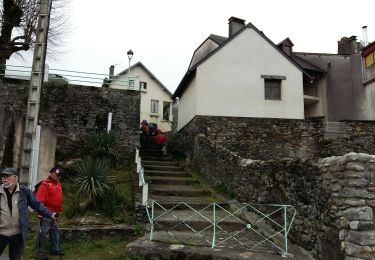
belle balade sans difficulté sauf a la descente raide sur 1.5km et dans des gros cailloux recouverts de feuilles a l'automne et en hiver

Marche
A pied
A pied
A pied
A pied
Marche

Marche

Marche

Marche