


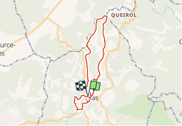


11,1 km | 13,6 km-effort

Utilisateur


Application GPS de randonnée GRATUITE
 SityTrail
IGN / Instituts géographiques
SityTrail World
Le monde est à vous
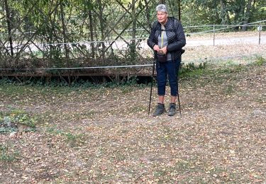
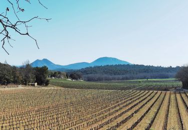
Randonnée Marche de 15 km à découvrir à Provence-Alpes-Côte d'Azur, Var, Bras. Cette randonnée est proposée par Christiancordin.
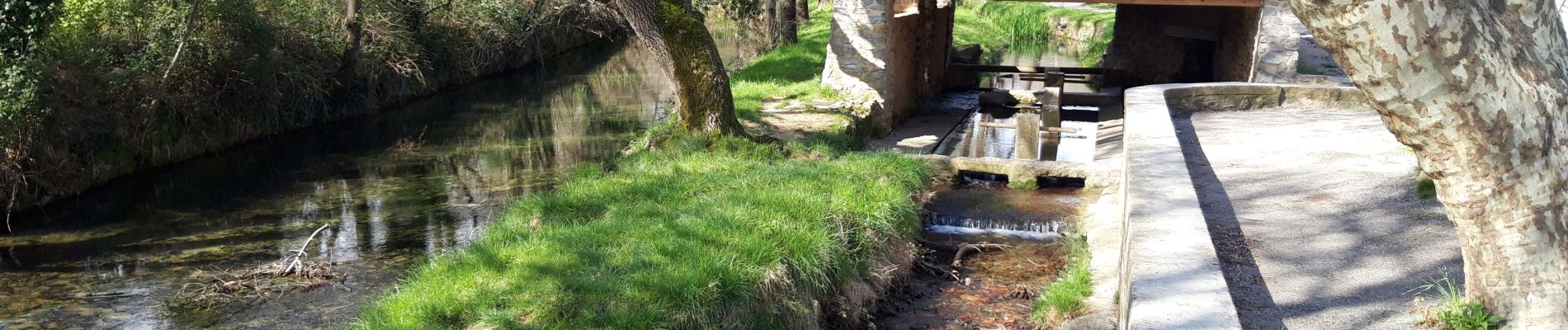
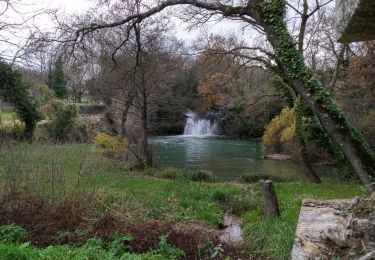
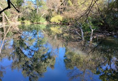
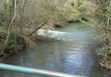
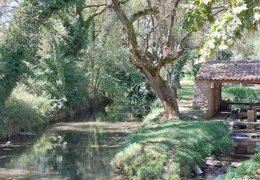
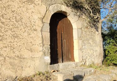
le pigeonnier le gouffre béni la chapelle templiere la chute du tombereau le pont de Sumian les ruines du château chapelle St Pierre.


22 photos au total. Cliquez sur une photo pour les afficher toutes dans la galerie.
Marche
A pied

sport

Marche
Marche
Marche
Marche
Marche
Marche