


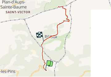

11,5 km | 15,1 km-effort


Utilisateur


Application GPS de randonnée GRATUITE
 SityTrail
IGN / Instituts géographiques
SityTrail World
Le monde est à vous
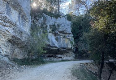
Randonnée Marche de 16 km à découvrir à Provence-Alpes-Côte d'Azur, Bouches-du-Rhône, Cuges-les-Pins. Cette randonnée est proposée par Fontclair.
Riboux- Le Saint Pilon par le tracé jaune.

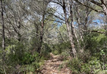
Marche

Marche

Marche

Marche

Marche
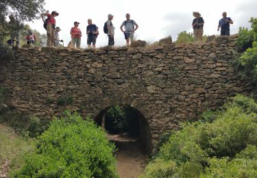
Marche

sport
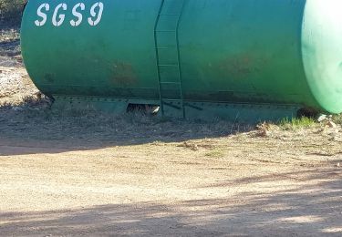
Marche
sport