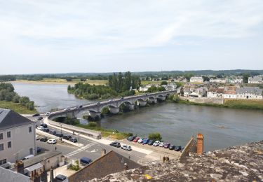
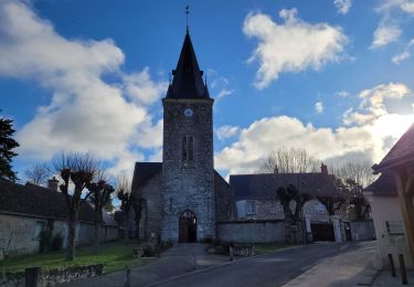
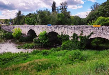
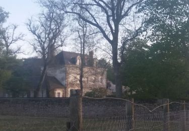
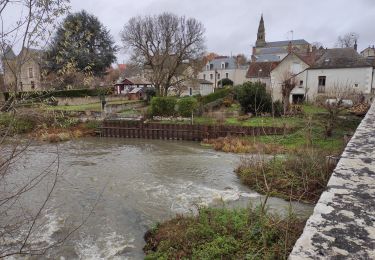
18,8 km | 21 km-effort
rando mercredi 11/03/20 bbr
Annick Guillier
Utilisateur
Longueur
15,2 km
Altitude max
106 m
Dénivelé positif
162 m
Km-Effort
17,3 km
Altitude min
68 m
Dénivelé négatif
163 m
Boucle
Oui
Date de création :
2020-03-09 08:29:47.931
Dernière modification :
2020-03-09 11:23:07.175
2h48
Difficulté : Très facile
Application GPS de randonnée GRATUITE
À propos
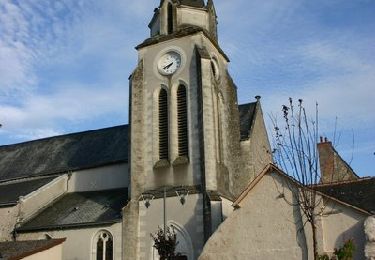
Randonnée Marche de 15,2 km à découvrir à Centre-Val de Loire, Loir-et-Cher, Candé-sur-Beuvron. Cette randonnée est proposée par Annick Guillier.
Localisation
Pays :
France
Région :
Centre-Val de Loire
Département/Province :
Loir-et-Cher
Commune :
Candé-sur-Beuvron
Localité :
Unknown
Départ:(Dec)
Départ:(UTM)
369641 ; 5261909 (31T) N.
Commentaires
Randonnées à proximité
Vignoble et Cisse - Chouzy sur Cisse
V.T.T.
Moyen
(2)
Valloire-sur-Cisse,
Centre-Val de Loire,
Loir-et-Cher,
France
1h 30min
Oui
Candé-sur-Beuvron Valaire Boucle 15 Km 2024-07-30
Marche
Moyen
(1)
Candé-sur-Beuvron,
Centre-Val de Loire,
Loir-et-Cher,
France
15,2 km | 17,2 km-effort
3h 54min
Oui
E Candé sur Beuvron à Montlouis sur Loire
Cyclotourisme
Facile
Candé-sur-Beuvron,
Centre-Val de Loire,
Loir-et-Cher,
France
47 km | 52 km-effort
3h 26min
Non
seur, cande sur beuvron, madon, chailles,la haye,la boissiere,seur
A pied
Moyen
(1)
Seur,
Centre-Val de Loire,
Loir-et-Cher,
France
26 km | 29 km-effort
6h 34min
Oui
seur fougères sur bievre
Marche
Moyen
Seur,
Centre-Val de Loire,
Loir-et-Cher,
France
21 km | 23 km-effort
4h 0min
Oui
ouchamps
Marche
Moyen
Le Controis-en-Sologne,
Centre-Val de Loire,
Loir-et-Cher,
France
14,7 km | 16,3 km-effort
1h 14min
Oui
Randonnée au départ de Candé sur Beuvron
Marche
Moyen
Candé-sur-Beuvron,
Centre-Val de Loire,
Loir-et-Cher,
France
26 km | 29 km-effort
6h 3min
Oui
seur.cande sur beuvron.chailles.seur
Marche
Difficile
Seur,
Centre-Val de Loire,
Loir-et-Cher,
France
27 km | 30 km-effort
5h 16min
Oui
reconnaissance BBR aux Allees
Marche
Très facile
Candé-sur-Beuvron,
Centre-Val de Loire,
Loir-et-Cher,
France
45 km | 52 km-effort
6h 27min
Non