


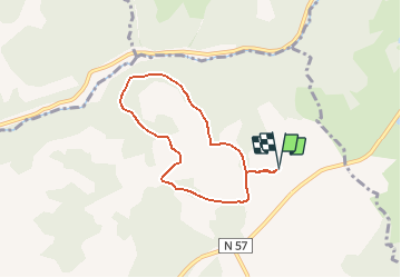

7,9 km | 10,2 km-effort

Utilisateur


Application GPS de randonnée GRATUITE
 SityTrail
IGN / Instituts géographiques
SityTrail World
Le monde est à vous
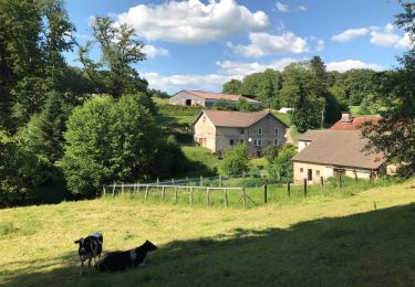
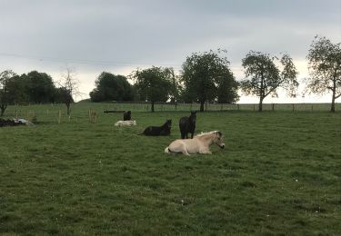
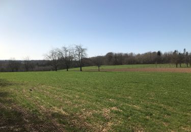
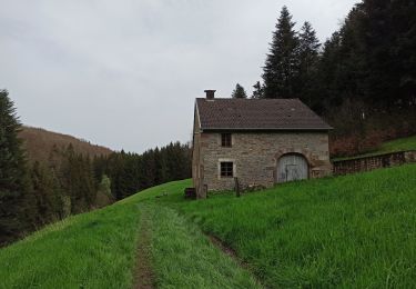
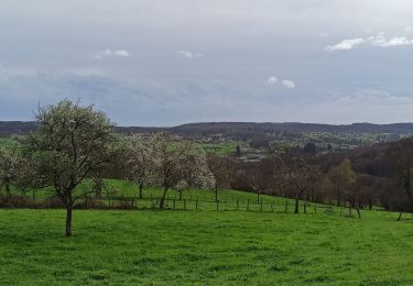
Randonnée Randonnée équestre de 5,9 km à découvrir à Bourgogne-Franche-Comté, Haute-Saône, Fougerolles-Saint-Valbert. Cette randonnée est proposée par Bonetto.
Balade d'1h30-2h à pied ou avec 1 poney en main. 1h à poney
Balade sympa avec dénivelé et paysages panachés

Marche
Marche nordique
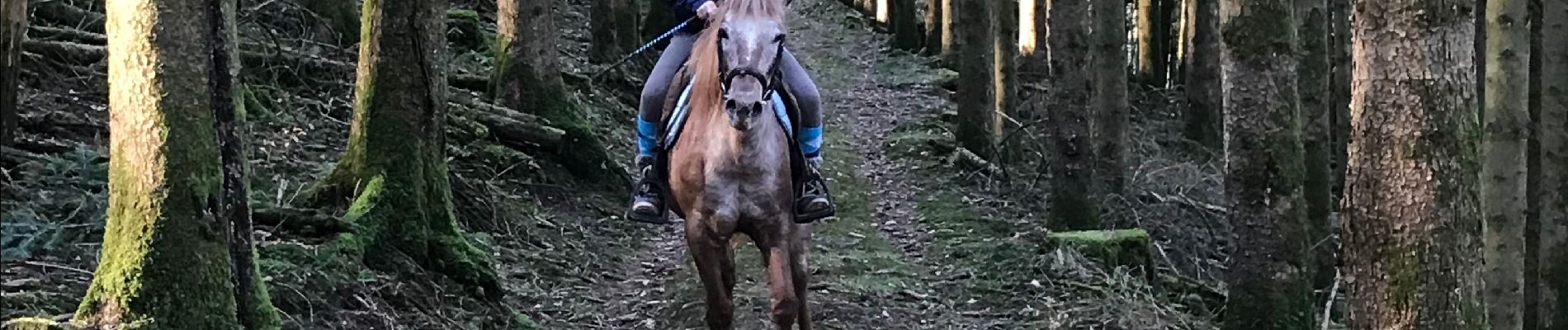
Randonnée équestre
Marche
Randonnée équestre

Vélo
Marche
Marche
Marche