


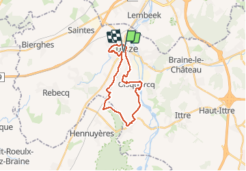

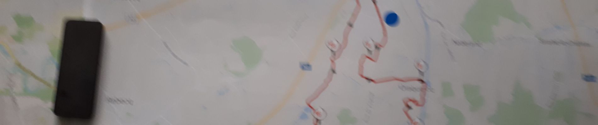
17,1 km | 22 km-effort

Utilisateur


Application GPS de randonnée GRATUITE
 SityTrail
IGN / Instituts géographiques
SityTrail World
Le monde est à vous
Randonnée Marche de 20 km à découvrir à Wallonie, Brabant wallon, Tubize. Cette randonnée est proposée par jeangulu.
Les Roses Noires _ BBW 007
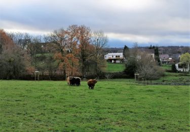
Très beau parcours beaucoup de routes au début par la suite des chemins et des sentiers de campagne à refaire


Marche

Marche

Marche

Marche

Marche

Marche

Marche

Marche
Marche