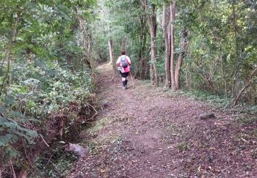
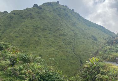
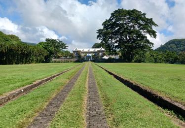
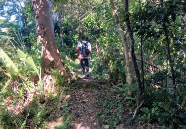
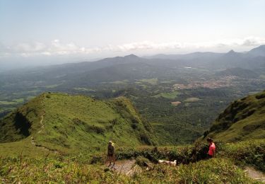
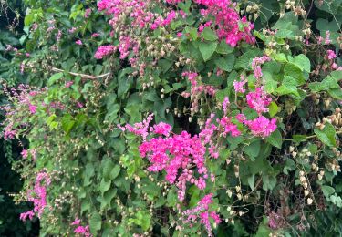
Randonnée Marche Saint-Pierre - Sources-chaudes-de-la-pelee - Photo

Sources-chaudes-de-la-pelee

 Jeffo972
Jeffo972

Utilisateur

© OpenStreetMap contributors
Longueur
Longueur
9,8 km
Altitude max
Altitude max
633 m
Dénivelé positif
Dénivelé positif
588 m
Km-Effort
Km-Effort  
17,7 km
Altitude min
Altitude min
27 m
Dénivelé négatif
Dénivelé négatif
588 m
Boucle
Boucle
Oui
Date de création :
2020-03-07 11:01:03.711
Dernière modification :
2020-03-22 13:47:18.742

(0 Avis)

Marche
Marche
3h34
Difficulté : Difficile

Scannez ce code QR pour ouvrir la randonnée dans l'application SityTrail

Application GPS de randonnée GRATUITE

Logo SityTrail SityTrail

IGN / Instituts géographiques

Télécharger SityTrail sur l'App Store Télécharger SityTrail sur Google Play

Logo SityTrail SityTrail World

Le monde est à vous

Télécharger SityTrail sur l'App Store Télécharger SityTrail sur Google Play Télécharger SityTrail sur Huawei AppGallery

À propos

Randonnée Marche de 9,8 km à découvrir à Martinique, Inconnu, Saint-Pierre. Cette randonnée est proposée par Jeffo972.
Profil altimétrique

Localisation

Pays :
France
Région :
Martinique
Département/Province :
Inconnu
Commune :
Saint-Pierre
Localité :
Unknown
Départ:(UTM)
694183 ; 1633289 (20P) N.

Commentaires

Veuillez vous connecter pour laisser un commentaire ou une note


Possible mais déconseillé... La randonnée est difficile et l'endroit totalement isolé. Il est possible de se perdre ou de se blesser.


Est-ce possible de faire cette randonnée seul ?


Randonnées à proximité

Randonnée Marche Le Prêcheur - Sentier Martineaud  Le Prêcheur - Photo
Marche
GUIDE
Lamartiniere

Marche

Moyen
Le Prêcheur, Martinique, Inconnu, France
4,4 km | 11,2 km-effort
2h 10min
Non
Randonnée Marche L'Ajoupa-Bouillon - Montagne pelée  - Photo
Marche
GUIDE
Alizée.pee

Marche

Difficile
L'Ajoupa-Bouillon, Martinique, Inconnu, France
7,5 km | 16,5 km-effort
6h 2min
Oui
Randonnée Marche Le Prêcheur - Sentier Martineaud - Photo
Marche
GUIDE
Lamartiniere

Marche

Moyen
Le Prêcheur, Martinique, Inconnu, France
9,8 km | 0 m-effort
3h 45min
Oui
Randonnée Marche L'Ajoupa-Bouillon - Montagne Pelée - Photo
Marche
GUIDE
David25400

Marche

Moyen
(1)
L'Ajoupa-Bouillon, Martinique, Inconnu, France
7,8 km | 16,8 km-effort
4h 49min
Oui
Randonnée Marche Saint-Pierre - Boucle CDST via distillerie La Montagne - Photo
Marche
GUIDE
Lamartiniere

Marche

Moyen
Saint-Pierre, Martinique, Inconnu, France
6 km | 8,4 km-effort
2h 0min
Oui
Randonnée Trail Saint-Pierre - chute des rois St Pierre - Photo
Trail
chichine

Trail

Difficile
Saint-Pierre, Martinique, Inconnu, France
5,8 km | 10,1 km-effort
3h 4min
Oui
Randonnée Marche L'Ajoupa-Bouillon - Refuge Aileron - Gorges de La Falaise - Photo
Marche
GUIDE
Lamartiniere

Marche

Facile
L'Ajoupa-Bouillon, Martinique, Inconnu, France
3,7 km | 5,1 km-effort
1h 10min
Non
Randonnée Marche Saint-Pierre - Boucle CDST - Distillerie Depaz - Photo
Marche
GUIDE
Lamartiniere

Marche

Facile
Saint-Pierre, Martinique, Inconnu, France
4,7 km | 6,1 km-effort
1h 59min
Oui
Randonnée Marche Saint-Pierre - Prêcheurs  ailerons pellée le chinois  - Photo
Marche
sameja

Marche

Très difficile
Saint-Pierre, Martinique, Inconnu, France
17,4 km | 35 km-effort
8h 4min
Non


Fermer
Mes abonnements